Weather
A few showers across the eastern Corn Belt; beneficial rains on the southern Plains

Across the Corn Belt, a cold front stretching from Michigan to Missouri is producing scattered showers. Meanwhile, hazy conditions and air-quality reductions are common across the upper Midwest, as smoke from boreal wildfires in western Canada continues to drift southeastward. Amid the cool weather, brief showers, and hazy conditions, Midwestern farmers continue to plant corn and soybeans at an ahead-of-normal pace, except in some northern production areas.
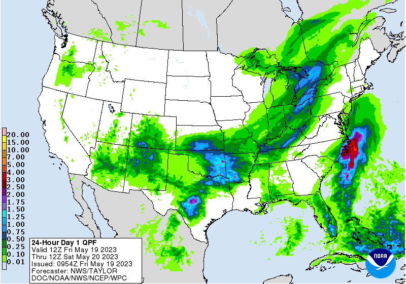
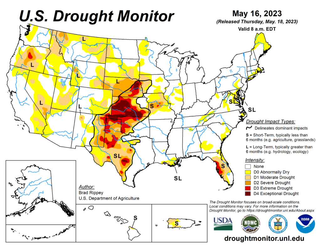
On the Plains, a Frost Advisory was in effect early Friday across the western half of North Dakota, where Friday morning’s low temperatures fell to 35°F or below in locations such as Hettinger and Dickinson. Meanwhile, locally heavy showers and thunderstorms in Kansas, Oklahoma, and northern Texas are providing drought relief but resulting in pockets of flash flooding.
In the South, cool weather has developed in the Atlantic Coast States as far south as the Carolinas. The remainder of the region is experiencing warm, humid weather, with showers lingering across the lower Southeast. In much of the South, the growing season is off to a good start, with concerns related to drought or flooding relegated to relatively small areas.
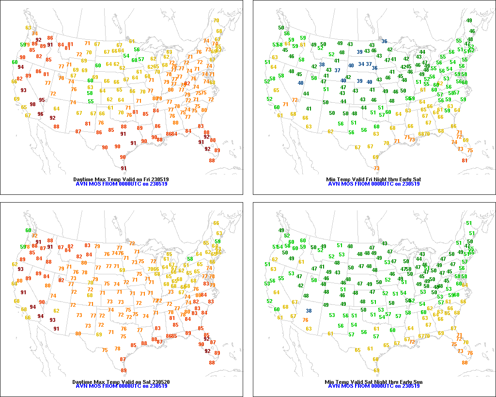
In the West, early-season heat continues across much of California, the Great Basin, and the Pacific Northwest, leading to rapid melting of high-elevation snow and corresponding increases in streamflow. The Sevier River near Hatch, Utah, recently rose to its highest level since 1971, while the Portneuf River at Pocatello, Idaho, is experiencing its highest crest since 1983. Any widely scattered showers are confined to the central and southern Rockies and parts of the Southwest.
Add Comment