Weather
Weather, temperatures vary greatly from the Heartland to the Deep South
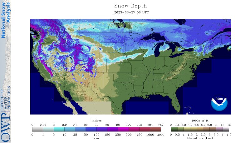
Across the Corn Belt, rain is falling early Monday from the Ohio Valley into the lower Great Lakes region. The remainder of the Midwest is experiencing cool, dry weather. The coldest weather, relative to normal, remains firmly entrenched across deeply snow-covered sections of the upper Midwest, including Minnesota and the eastern Dakotas.
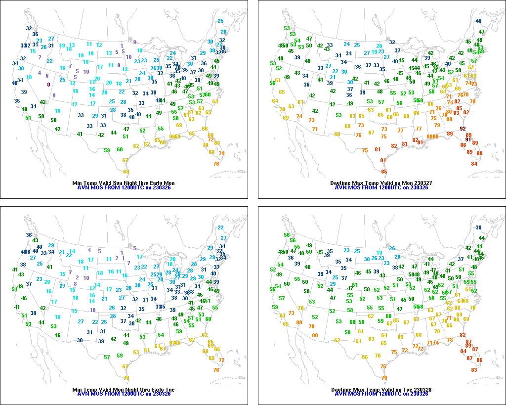
On the Plains, cooler-than-normal conditions are in place. In fact, Monday’s high temperatures will remain below 20°F in eastern North Dakota. Farther south, an elevated wildfire threat exists across the drought-stricken southern High Plains. Elsewhere, a small area of light snow is emerging from the Rockies and spreading across the central Plains.
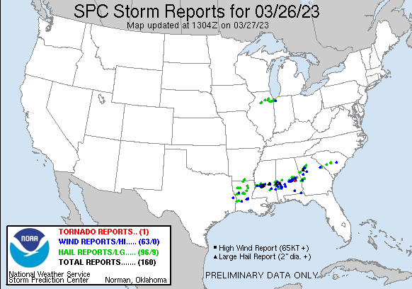
In the South, clean-up and recovery efforts continue in areas hit by severe thunderstorms and isolated tornadoes that struck from Texas to Georgia from March 24-26. Early Monday, heavy rain is resulting in localized flooding in central sections of Alabama and Georgia. Rain is also falling heavily in eastern North Carolina and environs. Monday’s maximum temperatures will vary widely, ranging from near 60°F along the Ohio River to 80°F or higher across the Deep South.
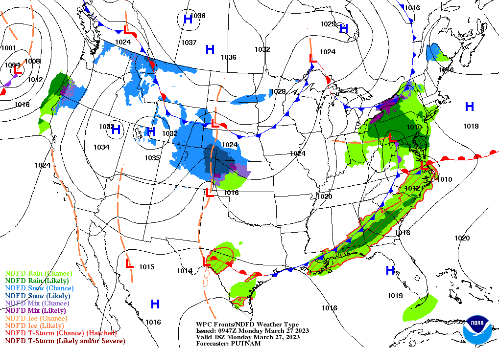
In the West, cool, mostly dry weather prevails. Any light snow is generally confined to the central Rockies and eastern sections of the Intermountain West. In California, a pause between storms is allowing storm-recovery efforts—including hillside stabilization and road and levee repairs—to proceed. Lowland flooding persists, however, in some agricultural areas, such as formerly dry Tulare Lake in California’s San Joaquin Valley.
Add Comment