Weather
Hot weather on much of the Plains; seasonally mild across the Midwest Corn Belt
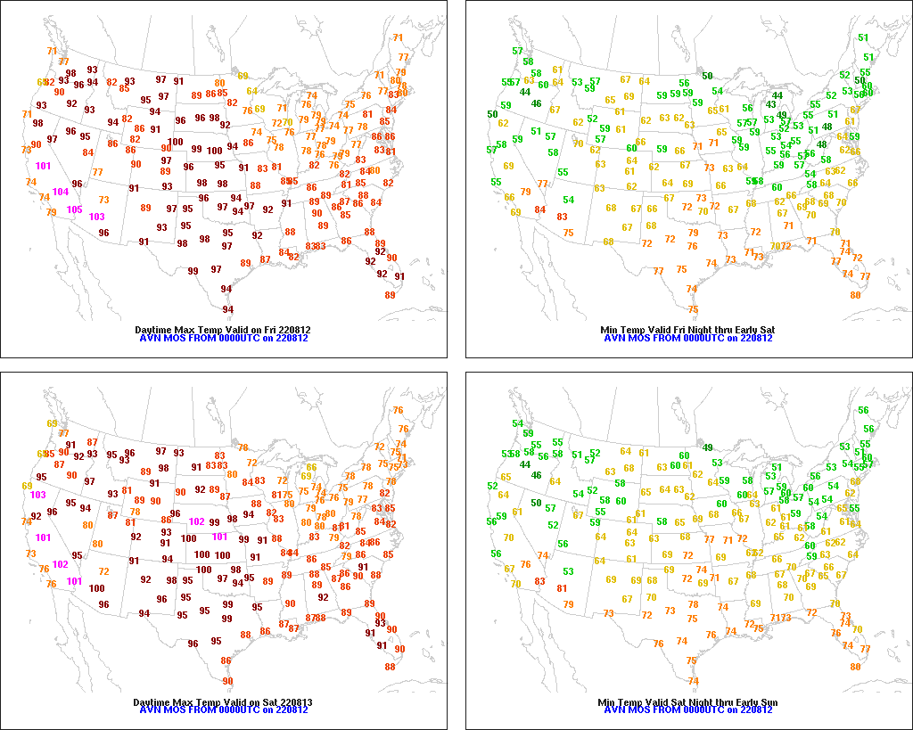
Across the Corn Belt, showers and a few thunderstorms are spreading across the upper Midwest. Elsewhere, ongoing dry weather is reducing soil moisture availability for summer crops, including corn and soybeans. Some of the driest conditions exist in parts of the western Corn Belt, which also continues to experience hotter-than-normal weather. Friday’s high temperatures should exceed 95°F in much of Nebraska and South Dakota, as well as the western tier of Iowa. In contrast, Friday’s Midwestern temperatures will remain below 80°F in most areas east of the Mississippi River.
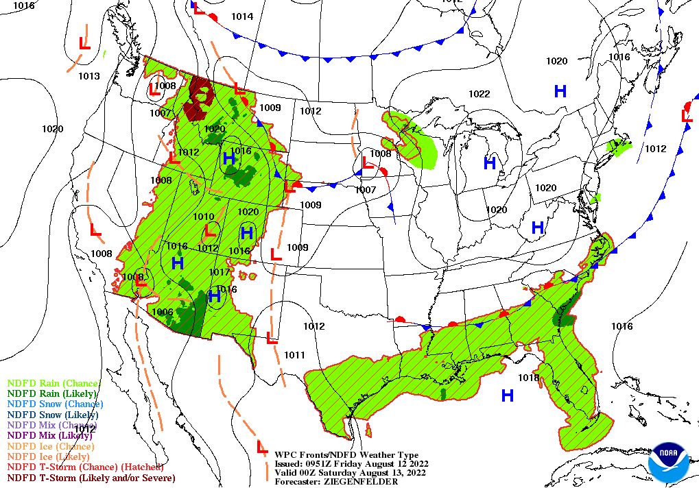
On the Plains, hot, mostly dry weather continues to stress rangeland, pastures, and immature summer crops. Early Friday, any showers are limited to the northern Plains. Friday’s high temperatures should reach 100°F or higher in scattered locations from Montana to Texas, with some of the hottest weather expected in parts of Nebraska and South Dakota. However, eastern North Dakota and environs will escape Friday’s heat.
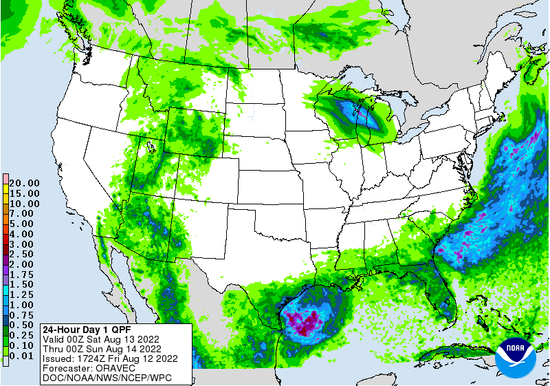
In the South, lingering showers are confined to the Gulf and Atlantic Coast States. Meanwhile, hot weather continues in the drought-affected western Gulf Coast region. Across the interior Southeast, cooler, drier weather favors late-summer fieldwork, including hay-making operations. Friday’s high temperatures will remain below 85°F in parts of the Tennessee Valley, as well as much of Virginia and North Carolina.
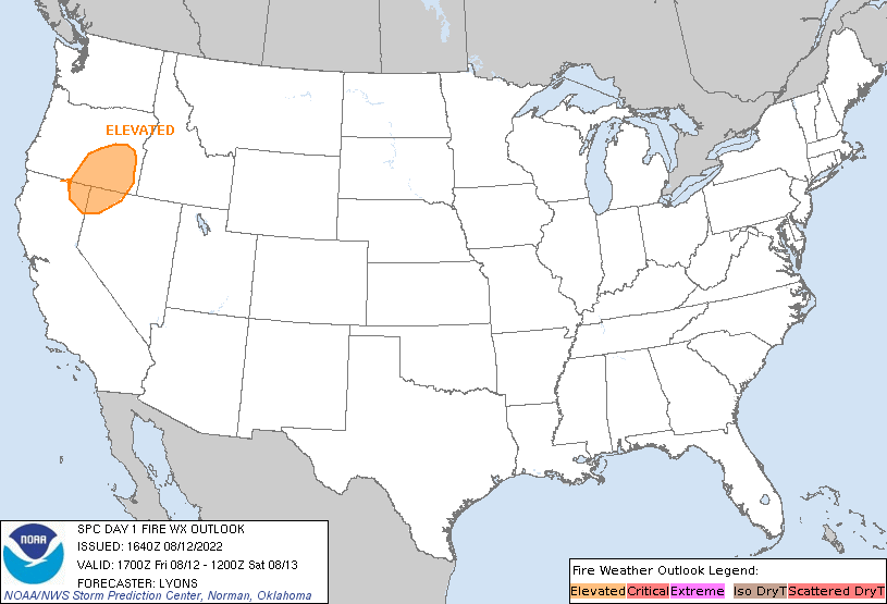
In the West, a plume of moisture spreading northward from the Desert Southwest is contributing to scattered showers. Much of the remainder of the western U.S. is experiencing dry weather and building heat.
Add Comment