Weather
Still winter-like in some parts of the Heartland
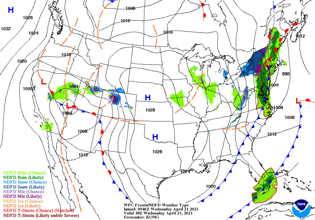
Across the Corn Belt, cold weather follows Tuesday’s inclement weather, which included a band of late-season snow from the middle Mississippi Valley into the lower Great Lakes region. Official snowfall totals for April 20 reached 4.2 inches in Fort Wayne, Indiana, and 3.5 inches in Kansas City, Missouri. Freezes occurred Wednesday morning throughout the Midwest— a potential concern for fruit crops and winter wheat. On April 18, five percent of the wheat in Illinois had headed.
On the Plains, freezes were reported Wednesday morning as far south as Abilene, Texas, where the low of 32° set a record for the date. Goodland, Kansas, noted a daily-record minimum temperature for the second morning in a row, posting a low of 18° early Wednesday. The cold weather continues to pose a threat to winter wheat, which on April 18 was 41% headed in Texas and 17% headed in Oklahoma. On the same date in Kansas, one-half of the winter wheat had jointed.
In the South, heavy showers are ending across Florida’s peninsula. Warmth lingers in the southern Atlantic States, but sharply cooler air is overspreading areas west of the Appalachians. In fact, freezes occurred Wednesday morning in parts of the mid-South, including the Ozark Plateau.
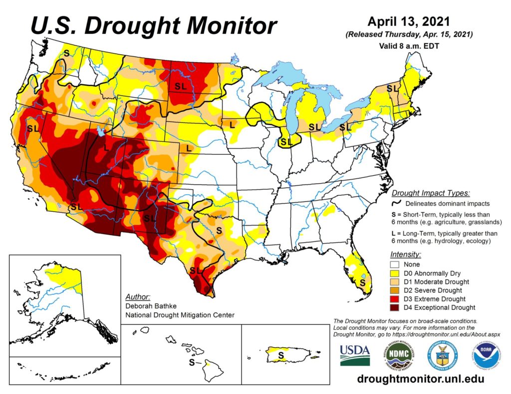
In the West, mostly dry weather prevails, despite an increase in cloudiness across the southern half of the region. Spring warmth has prematurely eliminated more than one-half of water equivalency of the Sierra Nevada snowpack—from 18 to 8 inches, according to the California Department of Water Resources—in less than a month, with negative implications for reservoir recharge and summer water supplies.
Add Comment