PORTLAND, Ore. — We tracked the winter weather that hit the Cascades and dipped into the Willamette Valley this past week. We provided daily updates right here to explain how forecast models changed and what we expected as the frigid weather continued.
Friday
Evening update from Matt Zaffino
The valleys will remain rain as the next storm moves in tonight. Temperatures stay above freezing.
But it's a different story in the Gorge, where an Ice Storm Warning is in effect from 10 p.m. tonight until 8 a.m. Saturday.
East of Multnomah Falls, as much as a 1/2" of ice may accumulate before it turns to rain late Saturday.
East of Carson in the Gorge and up the Hood River Valley, 3 to 6 inches of snow will fall before a transition to sleet and freezing, rain, and finally all rain. That happens late Saturday too.
The Oregon Cascades are under a Winter Weather Advisory for up to 16 inches of new snow by late Saturday. The snow level will rise to about 4,000 feet.
We all catch a breaks with a dry, partly sunny Sunday. Valley highs will climb to about 50 degrees.
Valley rain and mountain snow resume late Monday and continue through much of next week.
Afternoon update from the National Weather Service
An Ice Storm Warning is in effect in the Columbia River Gorge from 10 p.m. Friday to 8 a.m. Saturday.
Total snow accumulations between 1 and 3 inches are expected.
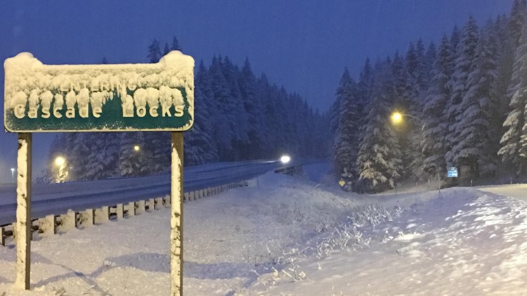
Ice accumulations will vary depending on location. There could be a tenth to a quarter of an inch of ice between Rooster Rock State Park and Multnomah Falls on the west end of the gorge. However, accumulations of a quarter to half an inch is expected from Multnomah Falls east to Cascade Locks and Stevenson.
"Travel will be very treacherous, and could be nearly impossible," the weather service said in its warning.
Morning update from Rod Hill
Portland's final chance of the week to see snow produced up to an inch in scattered locations this morning.
Valley temperatures will slowly warm to 40 degrees with all shower activity falling as rain by late morning. Our next weather system will bring periods of steady rain Friday night and early Saturday morning.
Temperatures in the Willamette Valley will hold well above freezing Friday night as snow levels rise to 3,000' by Saturday morning.
A Winter Storm Warning will be in effect for the Gorge Friday night and Saturday morning as trapped cold air is expected to produce accumulating ice and snow.
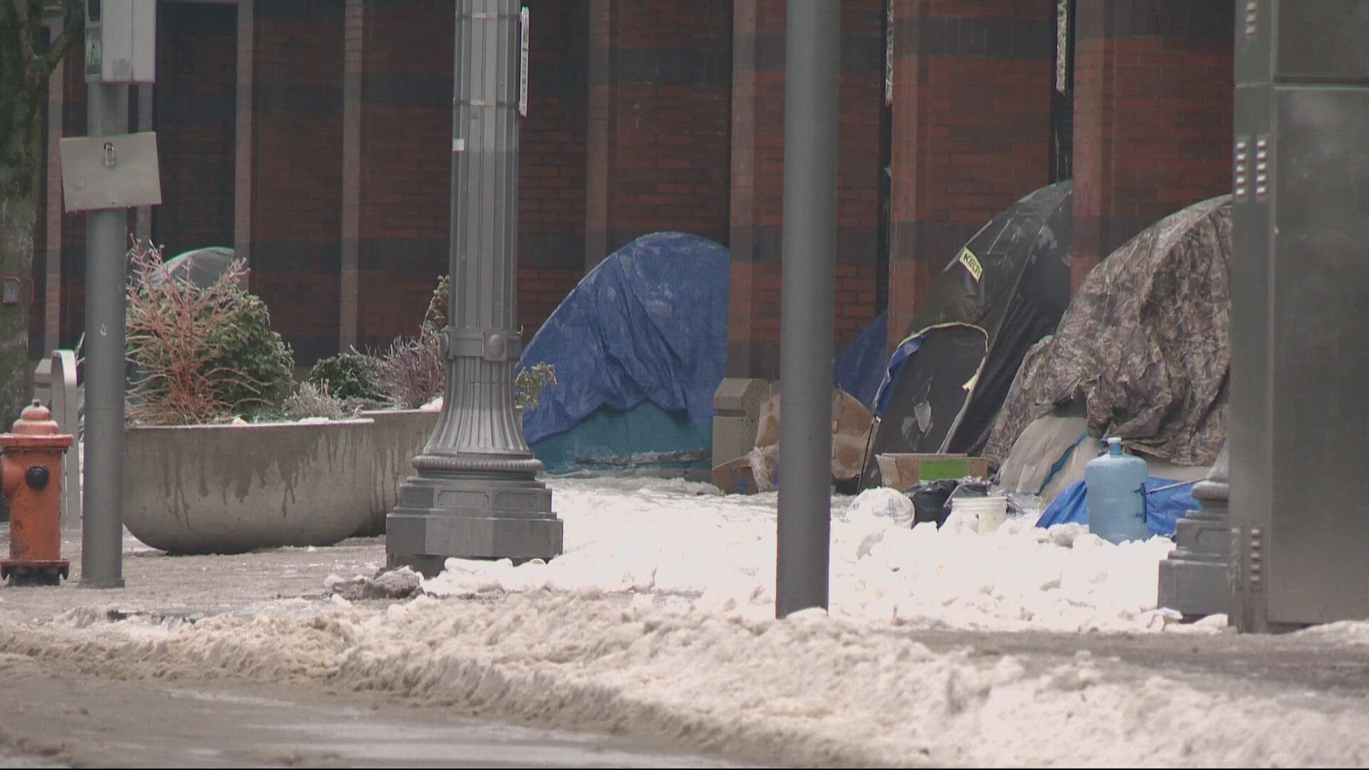
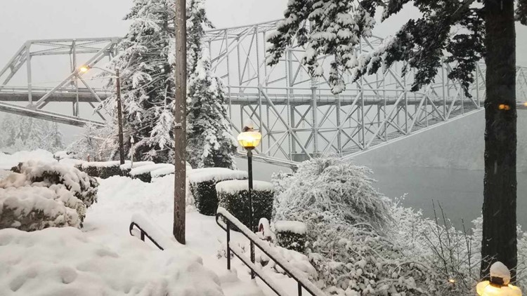
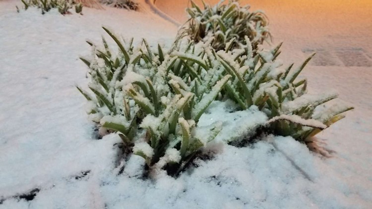
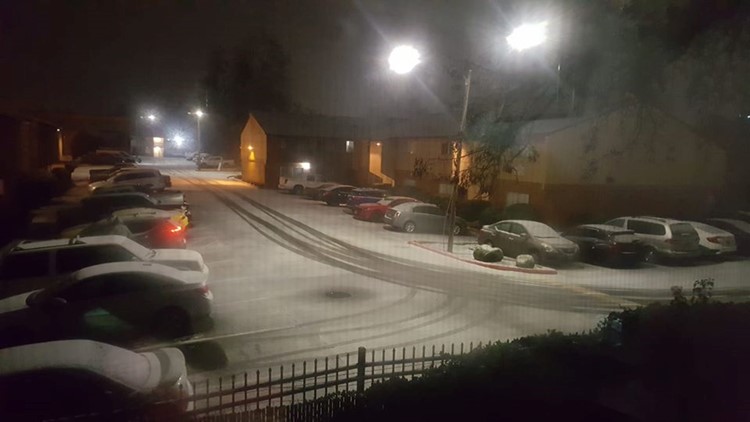
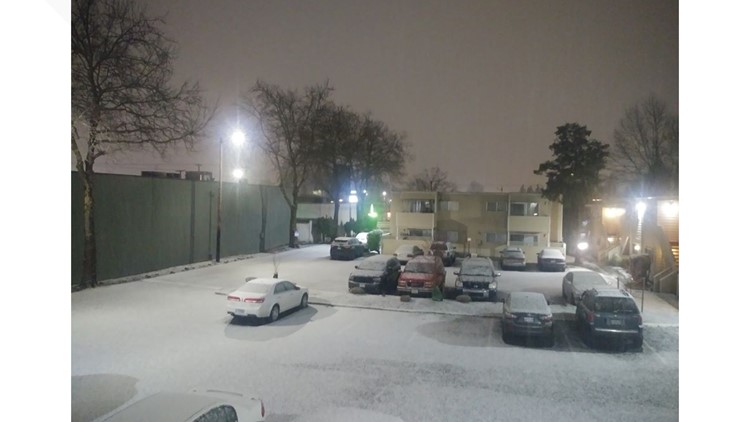
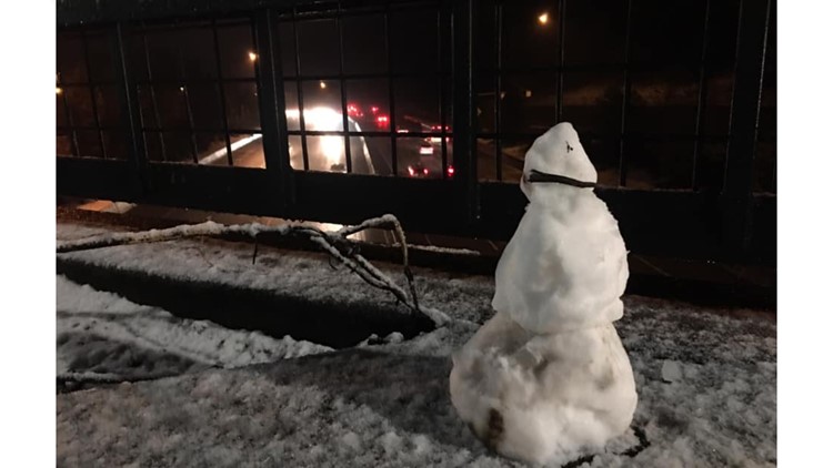
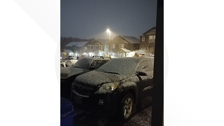
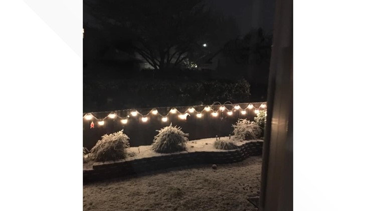
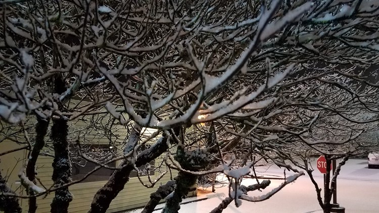
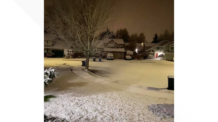
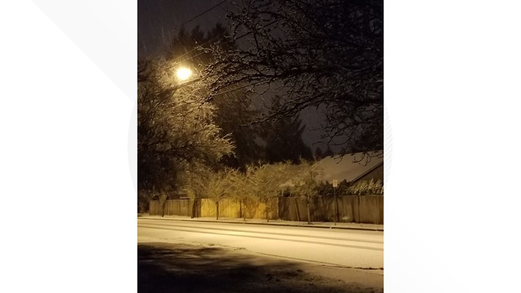
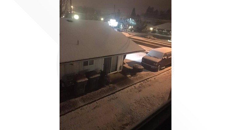
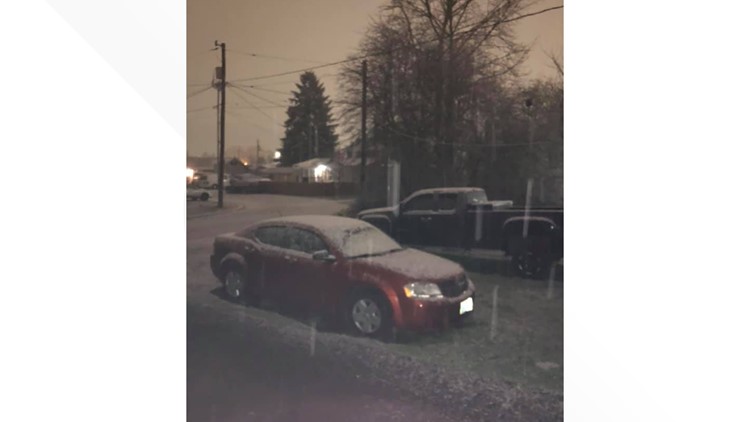
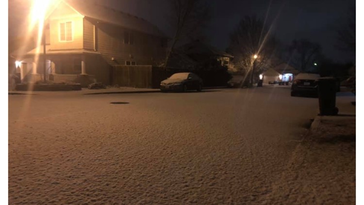
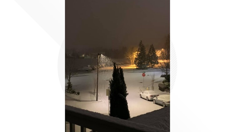
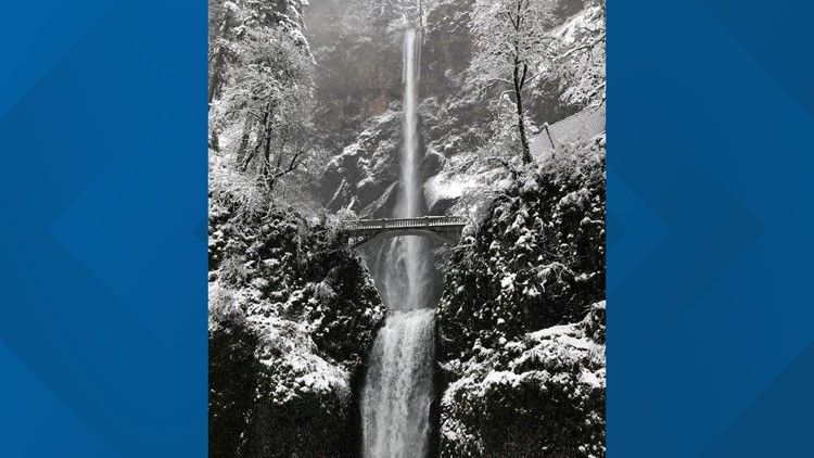
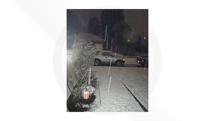
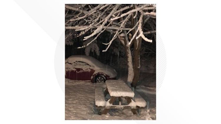
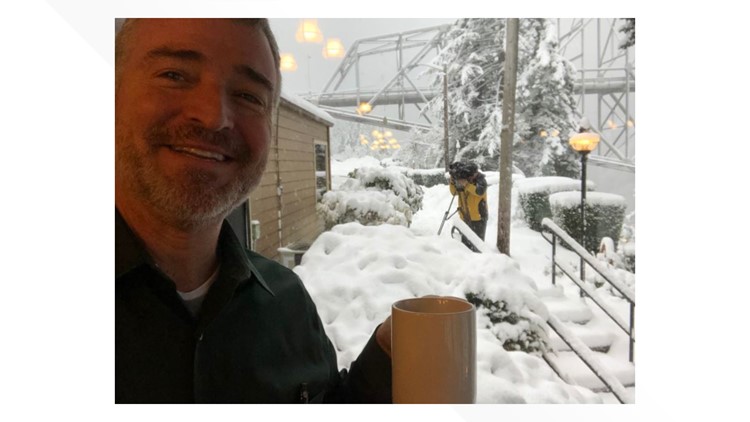
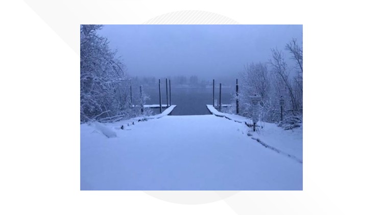
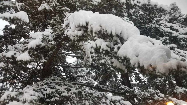
Your pics: Friday snow


RELATED: A Beginner's Guide to Portland Snow
Thursday
Evening update from Matt Zaffino
A clearing sky tonight allows temperatures to fall to around freezing.
Areas of fog will form in the western valleys, and there may be freezing fog making roads slick in spots.
Adding to the slick potential will be snow showers that fall Friday morning. Accumulations on the valley floor should be less than a half-inch and will melt mid-morning as temperatures warm.
The rest of the day brings rain showers and highs in the 40s.
Rain increases later Friday night into Saturday as another weather system comes onshore.
Sunday brings a break from the rain with a partly sunny sky and highs around 50-degrees.
More valley rain and mountain snow are on tap later Monday and Tuesday.
For the Gorge, an inch or so of snow will fall Friday. As temperatures begin to warm Saturday, snow will turn to freezing rain, and eventually just rain Saturday night.
Mid-morning update from Rod Hill and Chris McGinness
Portland has one last-gasp chance to see some snow showers this week.
A Futurecast image for Friday morning shows a possible passing snow shower, this week's final chance to see a snow dusting before weekend temperatures and snow levels rise.
KGW meteorologist Rod Hill said there's no guarantee of snow showers in Portland on Friday morning. What's more certain is that temperatures will be around freezing, so snow or no snow, black ice will likely be a concern for the morning commute.
"We get chilly overnight and if we have passing showers, they would be snow showers, so this would be the last-ditch effort to get a dusting of snow in Portland to be somewhat widespread," Hill said. "Temperatures should be around freezing. Black ice would be a concern. It's no slam dunk that we get these [snow] showers. There are other pieces of weather data that say we're just simply dry tomorrow morning with black ice concerns, but we wanted to let you know that's a possibility."
Temperatures will rise up to 40 during the day Friday and rain is in the forecast for Friday and Saturday. The cold air begins to move out Saturday and snow levels could even creep back up above Government Camp.
Morning update from Rod Hill & the National Weather Service
There is a Winter Storm Warning through the Columbia Gorge lasting through 4 p.m. today. Inches of snow may fall throughout the Gorge, with freezing rain in the mix to make road surfaces slick. Winds will be gusty.
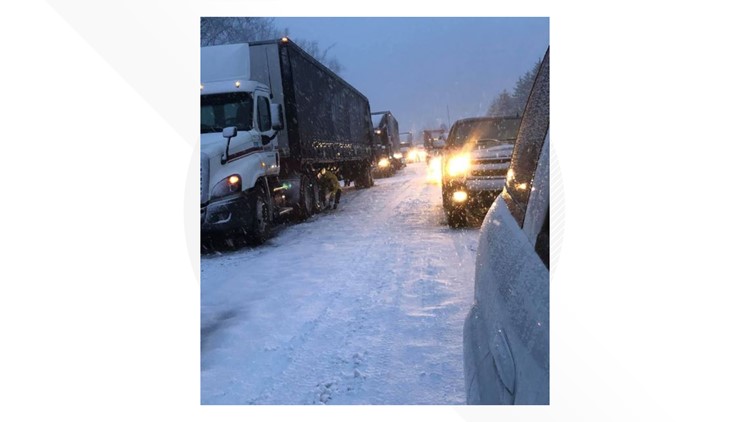
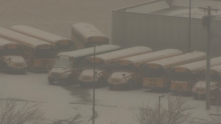
Eastbound lanes of I-84 were closed between Troutdale and Hood River after several trucks got stuck near Bonneville Dam.
Portland will get early morning rain then afternoon sunbreaks with highs in the low 40s. Snow may fall above 1,000 feet.
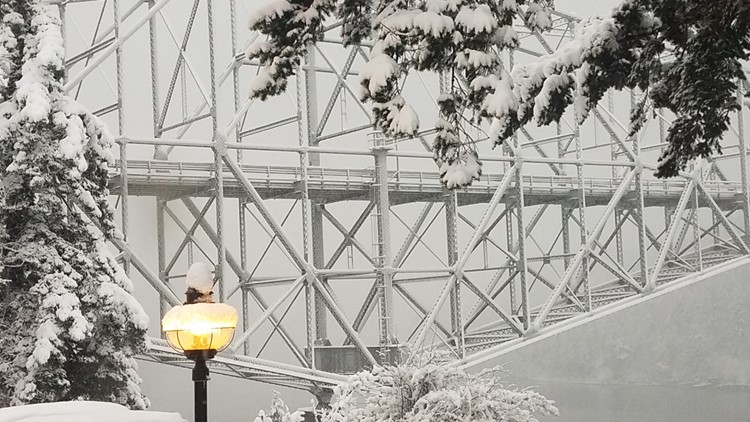
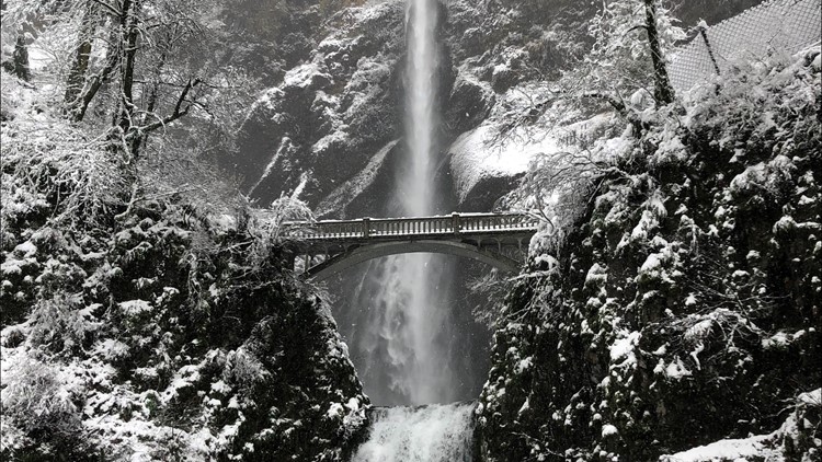
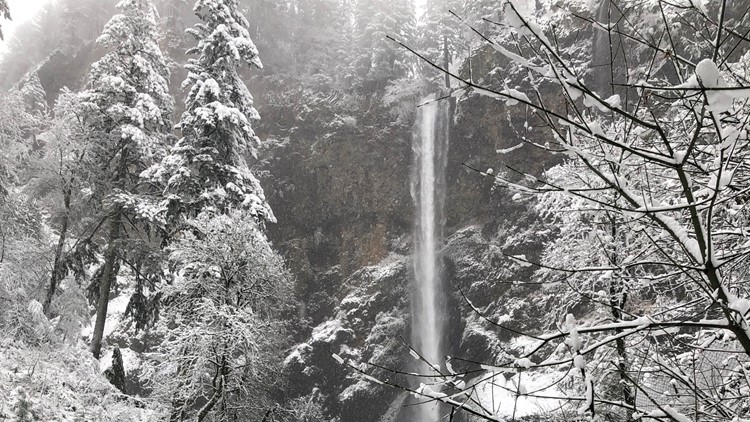
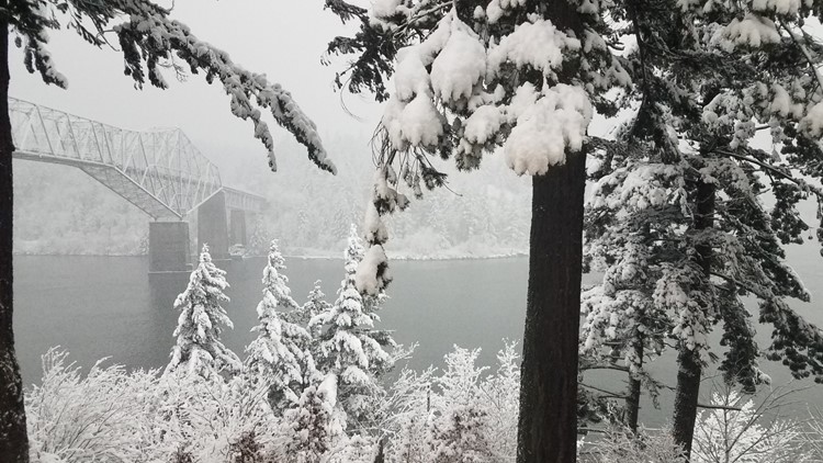
Photos: Treacherous, beautiful ice and snow in the Columbia Gorge


Wednesday
Afternoon update, from the National Weather Service:
Winter Weather Advisories are still in effect through Thursday in Oregon for Clackamas, Clatsop, Columbia, Deschutes, Hood River, Jefferson, Linn, Marion, Multnomah, Tillamook, Wasco, Washington and Yamhill counties. In Washington, Winter Weather Advisories are still in effect for Clark, Cowlitz, Kilckitat, Skamania and Wahkiakum counties.
The main concern in the tri-county Portland metro area is snowfall in the Cascades and passes, where up to 10 inches could fall at 1,500 feet and higher overnight. Expect road surfaces to be covered in snow and ice. Travel could be very difficult over the mountain passes.
Through the Columbia River Gorge, total snow accumulations could reach 4 inches, with ice accumulations up to 0.2 inches. Travel will become very difficult through the Gorge due to the snow and ice, as well as wind gusts as high as 40 mph. Snow, ice, and wind may also bring down tree branches, leading to isolated power outages.
Get the latest road conditions by calling 5-1-1.


Morning update from Rod Hill:
A band of light snow has pushed inland over Salem and areas south of Portland. Look for snow or a wintry mix as a possibility through 2 p.m.
Warming is expected this afternoon that will change snow to rain as highs warm well above freezing in the metro valley. The chance of any significant snowfall is over.
East winds will pick up today with gusts to 45 mph near the Columbia Gorge.
A Winter Weather Advisory is in effect for the Gorge this afternoon and tonight. Hood River could see 3-6 inches of snowfall.
Tuesday
Evening update from Matt Zaffino:
East winds will begin to work into the Portland area overnight.
But before they do, fog will form and any slush or melt-water left on roads will freeze as temperatures drop into the 20s, so there may be slick spots.
Snow begins in Portland around mid-day Wednesday. There may be a quick inch in town before it changes over to rain.
Valley highs Wednesday will make the upper 30s to mid-40s as you head south.
Elevations above 500 to 1,000 feet may see a couple of inches of snow, but this system is looking more like a cold rain.
The Gorge is, as usual, a different story. Snow and freezing rain will last well into Thursday and possibly Friday there and it will be a mess.
A Winter Weather Advisory is up for the Cascades, where another 10 inches of snow will fall Wednesday.
The valleys have another chance of snow or a rain/snow mix Thursday morning, and possibly snow Friday morning. But accumulations should be minimal.
Saturday brings valley rain and mountain snow, with a reprieve from the wet weather on Sunday.
Morning update from Rod Hill
A 20-minute flurry of snow hit the Portland area mid-morning, in concert with the the National Weather Service issuing a Winter Weather Warning through 1 p.m.
Areas above 500 feet could get up to two inches of snow by that time, according to the weather service.
The day started with snow flurries early this morning at higher elevations around Portland, including West Burnside and Skyline Boulevard. Temperatures are still expected to be above freezing during the day.
In fact, the balance of Tuesday will be mostly dry.
Overnight temperatures Tuesday will drop to freezing. After a dry Wednesday morning, there may be a wintry mix by midday. Look for gusty east winds.
Wednesday evening to Thursday morning will likely see moisture in some form. Whether it's snow depends on whether freezing temps in the Gorge traps cold air on the east side of the Portland area.

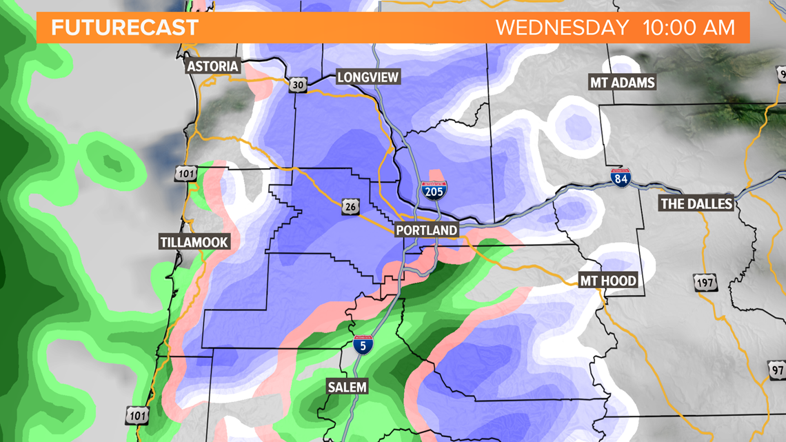
Futurecast (see doppler radar image above) shows moisture picking up Wednesday morning at 10 a.m.
Blue is snow, salmon a mix, green is rain. The model shows snow near and north of Portland and rain to the south. Areas of snow and/or ice remain possible Wednesday through Thursday morning as cold east winds blow, gusting to 40 mph near the Gorge.
Warming temperature trends show Portland city center may hold in the mid 30s, staying above freezing. There's still a lot of uncertainty, but the current forecast is trending warmer for Portland where moisture may be a wet mix to rain through the period of Wednesday afternoon through Thursday morning.
[Editors' note: Rod told us this morning, "The headline today should be, 'Forecast temperatures are trending warmer, but snow and ice areas will still be a possibility on Wednesday and overnight into Thursday,'" but we can't fit that into our headline field.]
Monday
Evening update, from Matt Zaffino
Snow showers tonight will leave a trace to an inch of snow above 500 feet. A Winter Weather Advisory is in effect until 4 a.m. for elevations above 500 feet. For the valley floor, we’re looking at a rain/snow shower mix.
Tuesday brings a continued mix of rain and snow showers, with a few sunbreaks. Highs will be in the upper 30s.
The east wind begins to pick up Tuesday night and Wednesday. That will bring the coldest air of the week through the Gorge to the Portland area.
Snow should begin to fall in the Portland area Wednesday evening and continue into Thursday morning. Right now, it looks like anywhere from a trace to 2 inches for the Portland area. Lesser amounts south of downtown and more north into Clark County, the Gorge and the Cascade Foothills.
Highs Wednesday with the east wind will only be around freezing in the Portland area.
Temperatures should warm above freezing Thursday for a transition to rain.
Rain, with snow above about 1,500 feet are renewed Friday and Saturday.
Midday update, from Chris McGinness
Temperatures likely won't stray much from where we are right now (37 degrees downtown/39 degrees at PDX) for the rest of the day.
It's possible as the air cools above that we start mixing more snowflakes later today and tonight but we expect no travel impacts below 500 to 1,000 feet today.
That transition from rain showers to snow showers likely happens for most areas overnight. Low temperatures flirt with the freezing mark Tuesday morning, so it's possible some areas see a light dusting, though most areas will not. We do expect to be well above freezing again Tuesday afternoon
Most of the metro area should dip to or below freezing Tuesday night into Wednesday. As east winds increase on Wednesday, temps won't rise much, if at all. That day looks like a mostly cloudy, blustery, cold day with occasional snow flurries.
Wednesday night into Thursday is the time frame we're most closely watching for possible widespread accumulating snow. Right now, it's still pretty difficult to pin down amounts and precipitation types.
The most likely scenario at this time appears to be a snow-to-wintry-mix-to-rain evolution across the region. Areas most likely to see accumulating snow would be the east side and near the gorge. Salem and south are most likely to see only a brief period of wintry mix and then rain.
I encourage you to check back frequently as we continue to fine tune the forecast. There are likely to be many changes as we're still 48 to 60 hours out.
Morning update, from Rod Hill
Expect chilly rain showers in the Portland area today, with snow levels at 1,500 feet or higher.
KGW photojournalist Dave Angier traveled across the Coast Range this morning and encountered sticking snow in the community of Timber at about 1,000 feet.
Monday evening, the rain showers will turn to snow or a wintry mix. Tuesday morning temperatures will be near freezing. There may be a dusting of snow or up to two inches. The snowfall will be scattered.
East winds Wednesday evening may bring up to six inches of snow overnight into Thursday.
Sunday
Evening update, from Joe Raineri
A winter weather advisory begins at 10 p.m. for the Portland metro area and the Greater Vancouver area for elevations 500 feet and higher. The advisory is in effect until noon Monday.
The advisory says 1 to 4 inches of snow could accumulate above 500 feet. "Plan on slippery road conditions. The hazardous conditions could impact the morning commute," the advisory reads.
Elevations below 500 feet can expect a mix of rain and snow showers but little accumulation, if any, according to the advisory.
Looking into Monday, we'll see snow showers move through by the end of the morning commute and into the afternoon.
Tuesday, the snow level remains between about 500 and 1,000 feet. We could get a dusting on the valley floor and accumulation up to 2 inches in the Portland Hills and Cascade Foothills once again.
By the middle part of the week, there's the potential for more significant snowfall coming into view. Strong east winds will keep the Portland area cold enough for snow well into Thursday. It's not out of the question to expect anywhere from 2 to 4 inches of snow to fall in the northern Willamette Valley Wednesday afternoon into Thursday.
We'll have a better idea on the midweek snow in the next couple of days, so stay tuned.
Morning update, from Keely Chalmers
The snow level drops to 500 to 1,000 feet Sunday night, so we may see a rain/snow mix at the valley floor. Above 500 feet, we could get up to 2 inches of snow overnight.
On Tuesday, the snow level remains between about 500 and 1,000 feet. We could get a dusting on the valley floor and accumulation up to 2 inches in the Portland Hills and Cascade Foothills once again.
There's the potential for more snow Wednesday and Thursday as strong easy winds will keep Portland cold enough for snow. It's not out of the question to expect anywhere from 2 to 5 inches of snow to fall in the northern Willamette Valley on Wednesday afternoon into Thursday.
Details on the mid-week storm will become clearer in the days ahead, but be prepared for the potential of valley snow this week.
"Chances [of snow] have generally increased, but we don't know exactly which valley locations will definitely see snow," the National Weather Service said in a tweet. "We wouldn't be surprised if portions of the valley got an inch or two this week while others only see a dusting."
Saturday
Evening update, from Joe Raineri:
Of course, the big question remains, what about valley snow?
The snow level drops to 1,000 feet Sunday night, so we may see a rain-snow mix. Snow showers will develop Monday by the later part of the morning and into the afternoon. So we could start seeing some accumulation by the afternoon and evening hours.
But later Wednesday and Thursday the potential for more significant snowfall comes into view. Strong east winds will keep the Portland area cold enough for snow well into Thursday. There may also be a transition to freezing rain at some point Thursday or Friday, as warmer air aloft begins to return.
Details on the mid-week storm will become clearer in the days ahead.
It's going to be best to prepare for the potential of valley snow next week.
Morning update, from National Weather Service:
The theme for next week should be “characterized as cold and unsettled.” With that said, as we get closer to Monday night, it’s becoming a little more clear on what to expect.
A colder air mass is still expected to come next week.
“This sets up lots more snow in the higher terrain and much higher potential for lowland snow by Tuesday or Wednesday of next week,” the weather service says.
It appears the most likely chance for snow accumulation Monday night and into Tuesday morning will be for areas above 500 feet.
While there’s still a chance for snow in Portland that night, there is a greater chance later in the week.
“Forecast confidence is reasonably high that some degree of frozen/freezing precipitation event will occur Wednesday-Thursday,” the weather service says.

What will that event look like? There are a wide range of possibilities. Snowfall in the Portland metro area and Clark County could be anywhere from a couple inches to several inches.
Keep checking the latest updates every day as forecast details will continue to change.
Friday
Evening update, from Matt Zaffino:
It’s been a stormy day with winds over 30 mph in the valleys and near 60 mph on the coast.
Thunderstorms popped near the coast late in the afternoon, and strong showers continue to pour inland tonight.
Winds will increase late this evening as a strong low-pressure center moves inland north of us.
Saturday brings a bit of a breaks, with showers interspersed with a few breaks. Weekend highs will be in the 40s.
Steady rain returns Sunday and turns to showers Monday as the snow level drops to 1,000 feet.
All the while it’ll be dumping in the Cascades. A Winter Storm Warning continues in the Cascades through Sunday. Two to four feet of snow will fall just this weekend, with feet more next week.
At the coast, massive swells will batter the beaches Saturday, with breakers reaching 35 feet. A High Surf Warning is in effect Saturday.
Of course, the big question remains, what about valley snow?
The snow level drops to 1,000 feet Monday, so we may see a rain snow mix as early as that.
The snow level descends to the valley floor Tuesday, so it’s possible we get some light snow accumulations of less than an inch late Monday night. That does not look like a high impact snowfall at this time.
But later Wednesday and Thursday the potential for more significant snowfall comes into view. Strong east winds will keep the Portland area cold enough for snow well into Thursday. There may also be a transition to freezing rain at some point Thursday or Friday, as warmer air aloft begins to return.
Details on the mid-week storm will become clearer in the days ahead.
For now, it’s a good idea to start thinking about and preparing for valley snow next week.
Morning update, from Chris McGinness:
Before we delve into the cold weather, and possible wintry precipitation in the Valley next week, we actually have a very active next 36 hours across the region.
Heavy rain and gusty winds are likely at the Coast and in the Coast Range. A Wind Advisory is in effect for the Willamette Valley Friday afternoon through early Saturday morning. Occasional wind gusts as high as 45 mph may be possible. In the Cascades, heavy snow develops later today and will create dangerous driving conditions through the mountain passes. Over the next few days, Cascade ski resorts stand to see several feet of fresh snow.
As for the change to cold and wintry weather in the valley, we still have high confidence in a few days of well-below-average temperatures next week. The details of any possible snow accumulations -- when, where and how much -- are still very uncertain. But it does looks like we could be cold enough for snow by as early as Monday evening. So the Monday-afternoon-through-Tuesday time frame is one we’re watching for possible snow.

Both the GFS (Global Forecast System) and the European models show moisture pushing toward the region again on Wednesday. By this point cold air would in theory be more entrenched, which means that a freezing rain/ice scenario could also be possible.
If you’re reading this and thinking, "Well, that could mean almost anything," you’re right. As always we will continue monitoring and we should have a clearer picture later this weekend.
Thursday
Evening update, from Matt Zaffino:
OK, here we go. Friday, we take our first steps into the wild of Northwest winter weather. A strong storm will bring valley rain and wind, and heavy snow to the Cascades.
A Wind Advisory is up from 1 p.m. Friday until 4 a.m. Saturday for the western valleys. Gusts should reach up to 45 mph.
A Winter Storm Warning is up in the Cascades from 7 a.m. Friday until noon Saturday. Snow will become very heavy Friday night, and winds will gust as high as 50 mph. Driving will be treacherous over the Cascade passes.
Saturday will bring rain showers to the valleys as the snow continues in the Cascades, with the snow level staying around 2,000 feet through the weekend.
Then there’s the coast. A Coastal Flood Advisory is up for the coast because of high tides Friday. On Saturday, 25-30 foot swells will reach the beaches. It will be rainy and windy with gusts reaching 50 mph Friday.
Another storm sets in Sunday for more valley rain and mountain snow that continues into Monday.
Monday night is when colder Canadian air begins to move south into Oregon. There may be some light snow Monday night and Tuesday.
Highs will only be in the 30s, with lows in the 20s for the middle of next week.
Right now, it looks like our best chance of valley snow will be Wednesday into Thursday. The cold air will be solidly in place, and as a storm approaches the central Oregon coast, the east wind will crank up even more and keep the cold air flowing into the northern valley.
This is a classic Portland snow set up. The details need to come into better focus before we talk about timing, amounts and location of lowland snow.
But it’s a good idea to start thinking about and preparing for valley snow next week.
Morning update, from Rod Hill: At this point, there's little change to the extended forecast which continues to show the arrival of Arctic air next Monday night into Tuesday.
The push of cold air may be accompanied with snow showers and Portland's first coverage of snow on the ground Tuesday morning. This first snow chance wouldn't be much, but we could see a few inches.
Our team is tracking a chance of significant snow or icy mix Wednesday night into Thursday. There are still many uncertainties, but a snow day next week is a possibility.
Wednesday
Evening update, from Matt Zaffino: Yes, there is potential for valley snow next week. But even more uncertainty regarding timing, location and amounts. The question is will there be enough moisture to work with when the really cold air arrives. So there's still much uncertainty regarding valley snow, but stay tuned.
Tonight we've got thick fog in the wake of the evening rain. Visibility has already dropped to a 1.4 mil in parts of the valleys. That will slow down drivers.
We should get some sun on Thursday and have a quiet day. Highs will be in the 40s.
Rain arrives Friday continues into the weekend. The Cascades will see heavy snowfall Friday into Monday that will make driving difficult as best.
A Winter Storm Watch is up for feet of new snow.
It’s looking increasingly likely that it’s going to get very cold next week, beginning most likely Monday night into Tuesday morning.
Right now, the most likely scenario I see is some light snow Monday night or Tuesday morning with the arrival of the Arctic air.
Another chance for valley snow looks to come Wednesday or Thursday. The cold air will be well established by then, and it appears a storm will approach us from the west or southwest to provide the moisture. This is a classic valley snow set up, and it's also possible we see some freezing rain.
BUT ... this is a week away, so these details are really far from certain!
At this point, the thing to do is be prepared for an extended period of cold weather, lasting perhaps a week once it begins next week. And keep in mind the potential is there for valley snow. The details will become clearer as we get closer to next week.
Stay tuned and have a great Thursday.
Morning update, from Rod Hill and Chris McGinness: Today we’re looking at the very latest runs of the European and the GFS models. Today’s take: The GFS remains consistently cold when compared to its last few runs. If anything, the GFS has trended a little colder.
The European model is not as cold as the GFS, but what’s new today is that the Euro has trended colder than its previous runs.
As a forecaster, it helps to see some consensus, so this increases our confidence we’re in store for a cold snap next week. That in and of itself will be a bit of a shock for us. Portland International Airport has not officially dropped to freezing since Dec. 26. It’s possible we’re looking at at least a day or two next week where the high temperatures don’t reach freezing.

As for snow, we think there will be some wet snowflakes mixed in with rain showers Sunday night and Monday as the colder air arrives behind a departing storm system.
Beyond, there’s too much variability in the models to lock in on any one particular weather system that might bring the area snow. Those variables include the timing and placement of any storm centers, along with their ultimate track. But we’re especially watching midweek right now.
We’ll update this with increasing frequency and more detail as those specifics become more clear.