Weather
Unsettled weather lingers across much of the Corn Belt
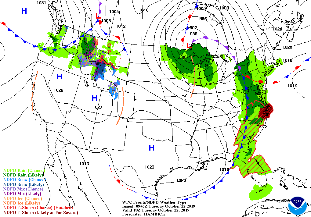
Across the Corn Belt, windy, showery weather is maintaining soggy conditions and keeping fieldwork at a standstill in most areas from the Mississippi Valley westward. As of October 20, the corn harvest lags the 5-year average by more than 30 percentage points in Illinois (36 percent complete), while the soybean harvest remains more than 40 percentage points behind the 5-year average in the upper Midwest according to USDA-NASS.
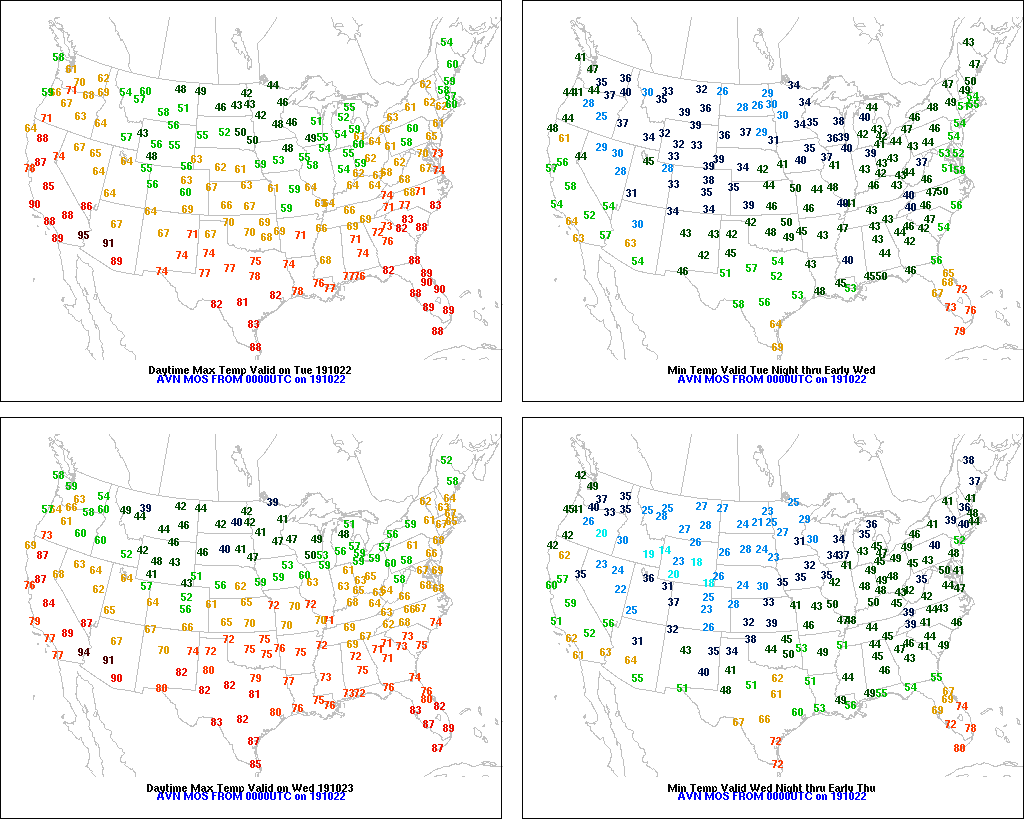
On the Plains, breezy, cooler, drier conditions are settling over the region following the passage of a strong cold front. Dryness concerns are increasing across the central High Plains for winter wheat establishment, in contrast to recent heavy precipitation and locally saturated soils in northern- and southern-most portions of the region.
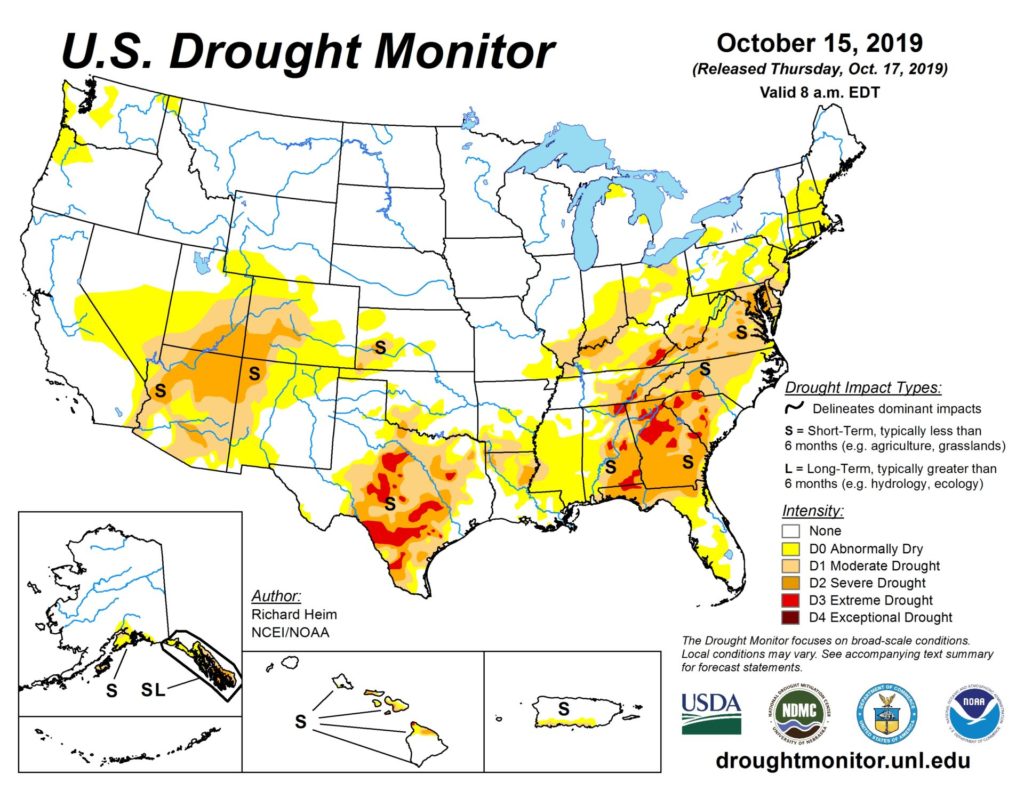
In the South, showers and thunderstorms associated with a strong cold front are providing additional much-needed drought relief from the eastern Gulf Coast into the Carolinas. Recent rains have been heaviest (locally more than 4 inches) across southern Georgia, while northern Georgia’s extreme drought areas have largely missed the lion’s share of rainfall.
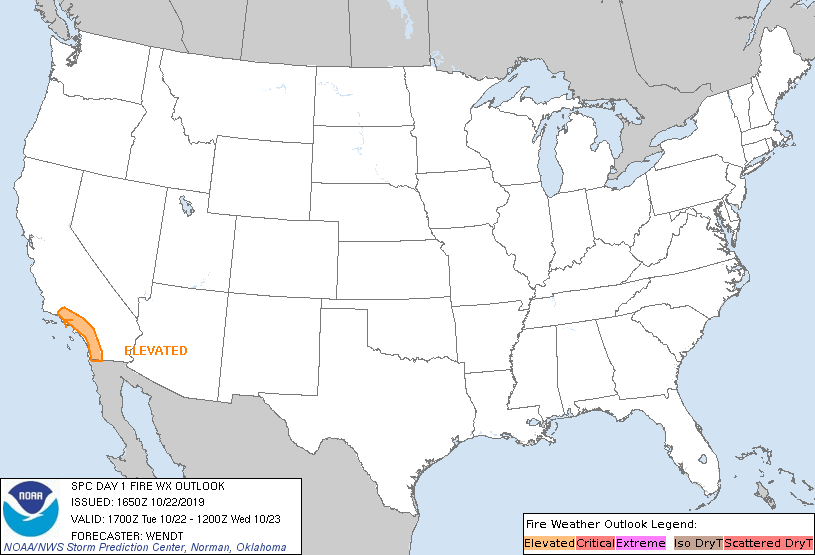
In the West, outside of a few showers in the Northwest, dry, warm weather prevails. There remains an elevated risk of wildfires along the southern third of the California Coast.
Add Comment