Weather
Wide-ranging fall weather across the Heartland
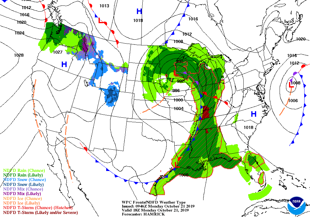
Across the Corn Belt, rain is maintaining soggy conditions and keeping fieldwork at a standstill in most areas from the Mississippi Valley westward. Early Monday, heavy showers and thunderstorms are spreading into the lower Ohio Valley.
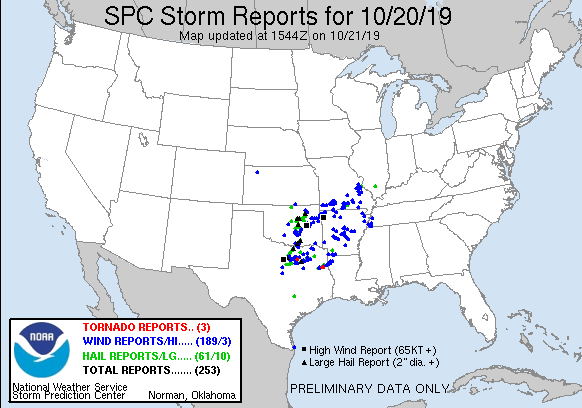
On the Plains, parts of eastern Oklahoma and northeastern Texas are in recovery mode, following Sunday night’s severe weather outbreak that included high winds, large hail, and isolated tornadoes. Currently, cool, dry, breezy weather is overspreading the southern Plains. Farther north, a chilly rain—mixed with some wet snow—is falling in parts of northern Nebraska and the Dakotas. In those states, the precipitation is maintaining exceedingly wet conditions, which has led to lowland flooding, significant fieldwork delays, and degradations in the quality of unharvested crops.
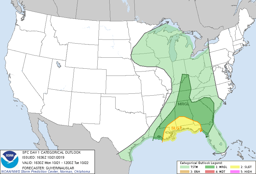
In the South, strong to locally severe thunderstorms stretch from the lower Ohio Valley to the western Gulf Coast region. Extremely heavy rain is occurring near the Texas coast, mainly just offshore. Meanwhile, dry weather has returned to the Southeast, following drought-easing weekend rainfall associated with the remnants of Tropical Storm Nestor.
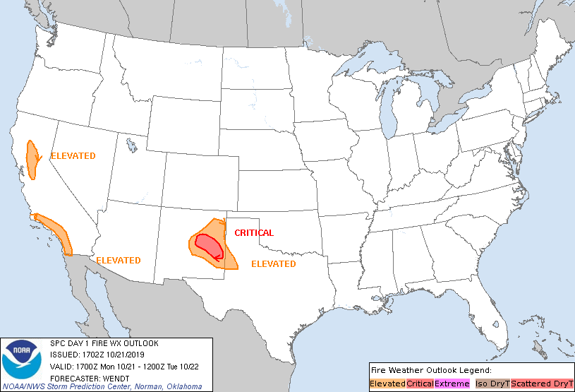
In the West, scattered rain and snow showers stretch from the Pacific Northwest to the northern Rockies. Farther south, warm, dry, breezy weather prevails in California and the Desert Southwest. In portions of California, there is an elevated to critical risk of wildfires.
Add Comment