Weather
Scattered rains accompany cooler air on-the-move
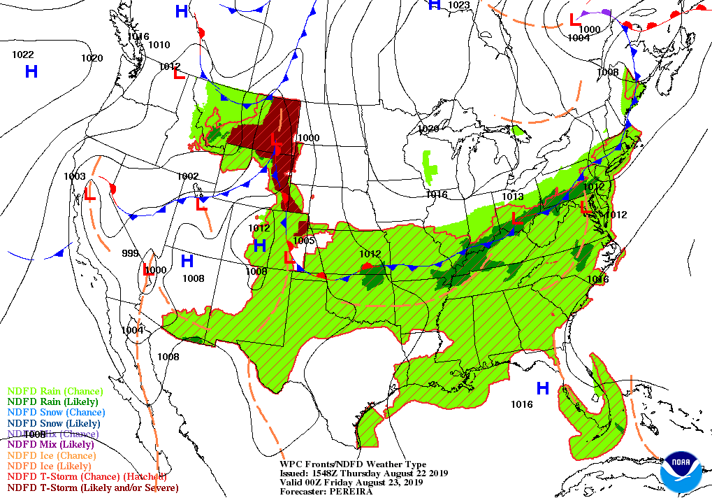
Across the Corn Belt, a cold front stretching from the lower Great Lakes region into Missouri is helping to focus showers and thunderstorms. The rain is generally benefiting late-planted, late-developing corn and soybeans. Meanwhile, cool, dry air is overspreading the upper Midwest, where Thursday morning’s low temperatures locally fell to 50° or below.
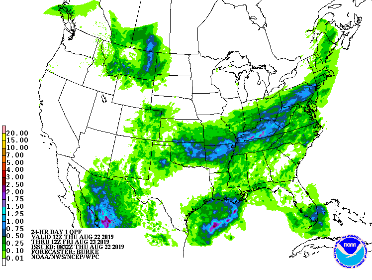
On the Plains, showers and thunderstorms remain active from Nebraska to Oklahoma. Meanwhile, producers on the northern Plains are harvesting small grains in advance of an approaching cold front. Elsewhere, a late-summer heat wave persists across much of Texas, maintaining stress on immature summer crops.
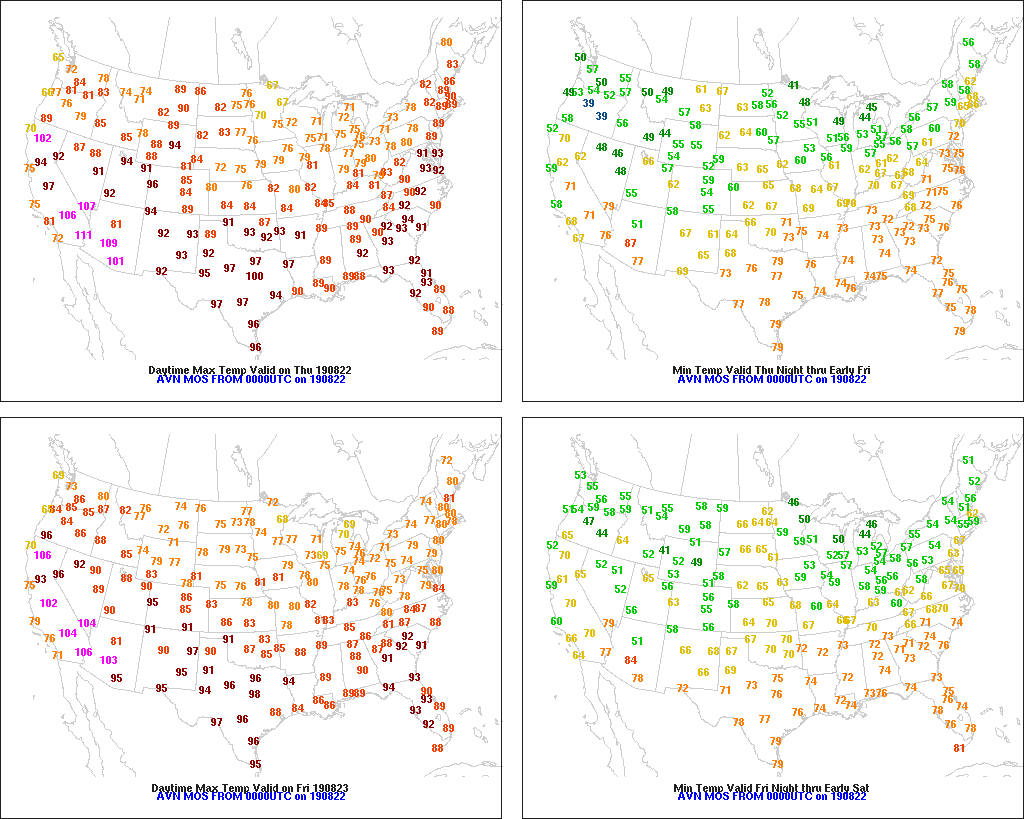
In the South, hot, humid weather favors crop development. Isolated to scattered showers are occurring in several areas, including the Gulf Coast region. An approaching cold front is producing some rain across the northern tier of the region, mainly from Kentucky to northern Arkansas.
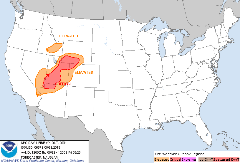
In the West, scattered showers in conjunction with a cold front’s passage are affecting the northern Rockies. In advance of the front, across the Intermountain West, there is an elevated threat of wildfire development and expansion due to hot, dry, breezy conditions and low humidity levels.
Add Comment