Weather
Temps vary; active pattern across the Heartland
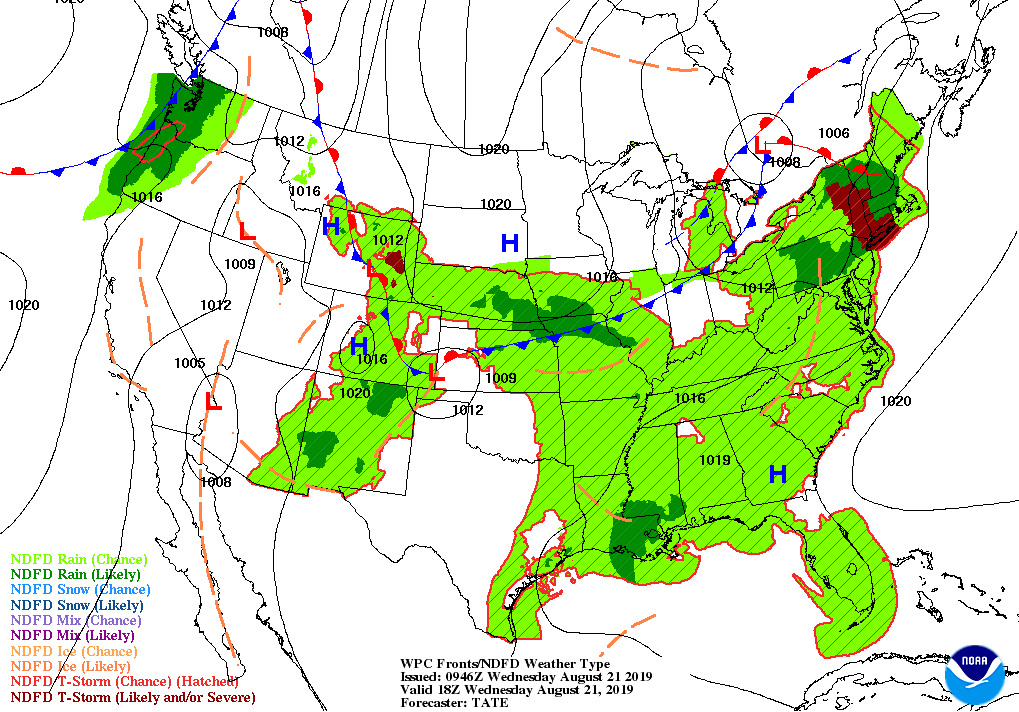
Across the Corn Belt, showers and thunderstorms are affecting some western production areas, including parts of the Missouri Valley. Cool air is arriving across the upper Midwest, but hot, humid conditions linger in the Ohio Valley. Only 68% of the U.S. soybeans were setting pods by August 18, the slowest pace since 1996. That year, a record-low 63% of the soybeans had set pods on that date.
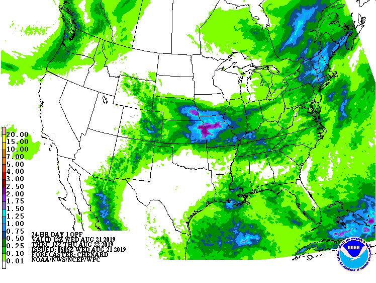
On the Plains, Wednesday early-morning thunderstorms are particularly heavy across parts of Kansas and Nebraska. Those storms are forming near the boundary between cool conditions in Nebraska and the Dakotas and an ongoing heat wave on the southern Plains. San Angelo, Texas, has reported a high of 100° or greater each day since July 28, with temperatures averaging 6° above normal during that 24-day span.
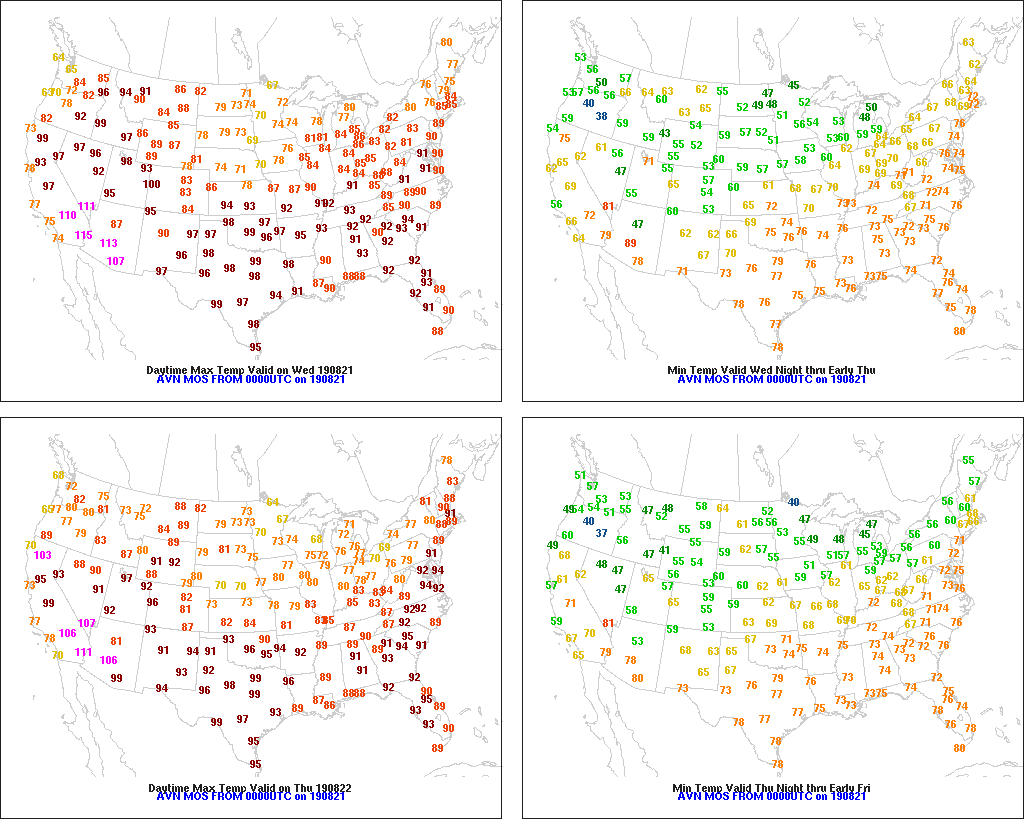
In the South, hot, humid weather continues to promote summer crop development. Heavy rain has subsided across the lower Southeast, although scattered showers linger. The hottest weather, relative to normal, persists across the mid-South, where Wednesday’s high temperatures will again approach the 100-degree mark.

In the West, cool air is overspreading the Pacific Northwest in conjunction with a cold front’s passage. The front is sparking a few showers, mainly across western Washington. Hot weather covers interior sections of the region, with Wednesday’s high temperatures expected to approach 120° in parts of the Desert Southwest. Heat and insufficient monsoon showers have increased stress on Southwestern rangeland and pastures.
Add Comment