Weather
Stormy weather expands across the Heartland
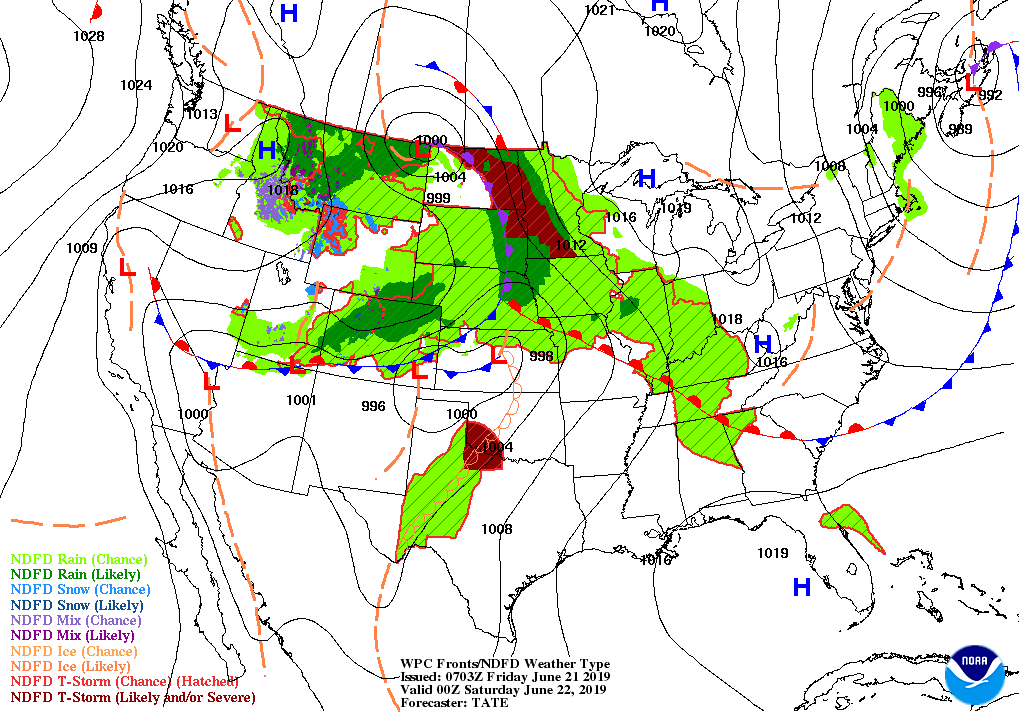
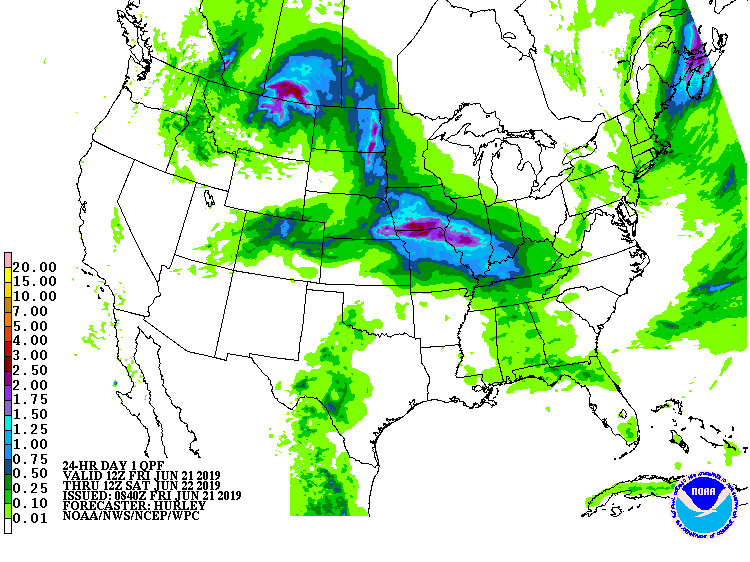
Across the Corn Belt, the latest round of rain is overspreading areas west of the Mississippi River. Meanwhile, cool but dry weather prevails in the eastern Corn Belt, although ponding and lowland flooding persists in some areas. On June 16 in Ohio, only 68% of the intended corn acreage and 46% of the soybeans had been planted.
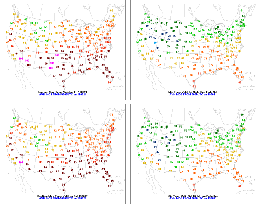
On the Plains, widespread showers and locally severe thunderstorms are affecting the northern half of the region. Early Friday, some of the storms across Nebraska and northern Kansas produced large hail and damaging winds. Meanwhile, a heat wave is developing across the southern Plains, where high humidity levels accompany temperatures that later Friday will approach or reach 100 degrees.
In the South, mostly dry weather has returned, but warm, humid conditions continue to promote a rapid pace of crop development. On June 16, more than one-fifth (22 to 29%) of the cotton was squaring in Alabama, Georgia, and the Carolinas—ahead of the respective state 5-year averages by 6 to 10 percentage points.
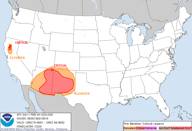
In the West, very cool weather prevails, especially in the northern Rockies. In fact, Freeze Warnings were in effect early Friday in several areas, including south-central Oregon and parts of the northern Great Basin. Breezy weather has developed in parts of California and the Southwest, leading to an elevated threat of wildfires. Currently, the nation’s largest active wildfire is the 50,000-acre Woodbury Fire near Superior, Arizona.
Add Comment