Weather
Organized rains returning to parts the central Corn Belt
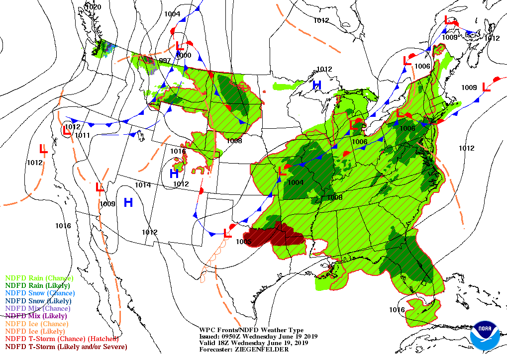
Across the Corn Belt, cool, damp conditions continue to limit summer crop development and are maintaining concerns with respect to the quality of soft red winter wheat. On June 16, more than one-fifth of the wheat was rated very poor to poor in Ohio (31%), Missouri (23%), Illinois (22%), and Michigan (21%). Currently, some of the heaviest rain is falling in the middle Mississippi Valley and environs.
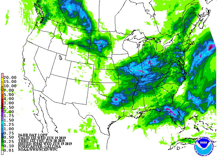
On the Plains, scattered to widespread showers are slowing fieldwork but maintaining mostly adequate to abundant moisture reserves for summer crops. However, cool weather across most of the region continues to slow the maturation of winter wheat, which nationally was just 8% harvested on June 16—compared to the 5- year average of 20%. Heat is starting to build, however, across central and southern Texas.
In the South, very warm, humid weather prevails from the western Gulf Coast region to the southern Atlantic Coast. Dry weather covers the western Gulf Coast region, but scattered showers are occurring in many other areas. Additional rain is still needed to ease dry conditions in parts of the Southeast, where topsoil moisture on June 16 was rated 46% very short to short in Alabama and 33% very short to short in Georgia.
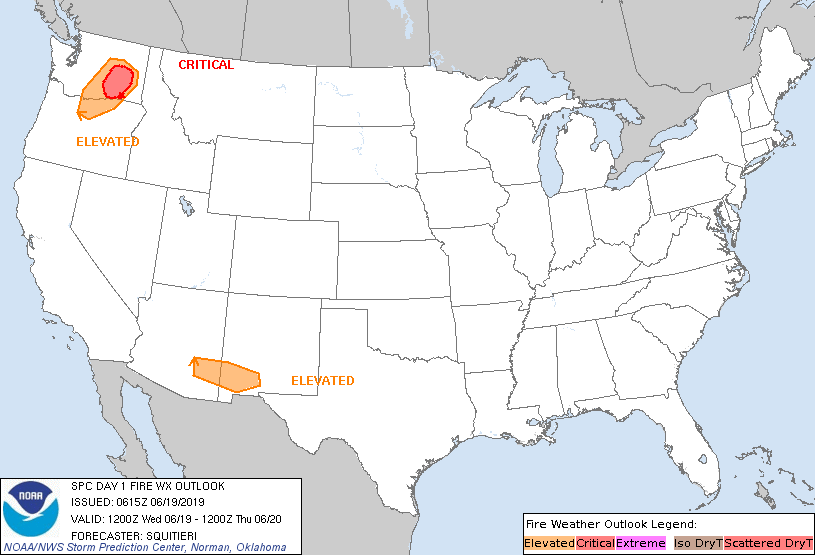
In the West, dry weather prevails, except for some lingering showers in the Rockies. There is an elevated fire danger in parts of the Northwest, in part due to windy conditions and developing drought. On June 16, topsoil moisture was rated 46% very short to short in Oregon, along with 40% in Washington.
Add Comment