Weather
Wet, stormy continues for most of the Heartland
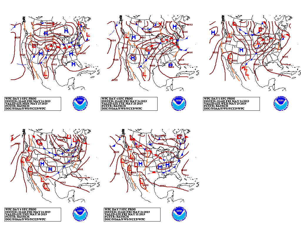
A barrage of storm systems will continue to emerge from the western U.S., maintaining the likelihood of showers and locally severe thunderstorms across a broad area of the nation’s mid-section.

Five-day rainfall totals of 1 to 5 inches or more should occur across the Plains and Midwest, while cool, showery weather will linger across the northern two-thirds of the West.

In stark contrast, very warm to very hot, dry weather will cover the South into early next week.
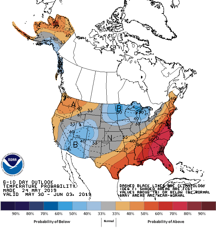
Looking ahead, the 6- to 10-day outlook calls for wetter-than-normal weather across most of the country, while below-normal rainfall will be confined to the Pacific Northwest and parts of the Southeast and northern Plains.

Meanwhile, below-normal temperatures from the Southwest into the upper Midwest will contrast with warmer-than-normal conditions in the Pacific Northwest, along California’s coast, and southeast of a line from central Texas to northern New England.
Add Comment