Weather
Unfavorable weather across much of the Heartland
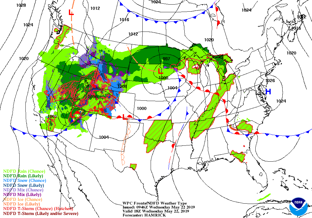
Across the Corn Belt, showers and thunderstorms stretch from Michigan into the lower Ohio Valley, and are also occurring in the upper Midwest. On May 19, prior to the latest round of rain, topsoil moisture was rated more than one-half surplus in Illinois, Indiana, and Ohio, and at least 40% surplus in five other Midwestern States.
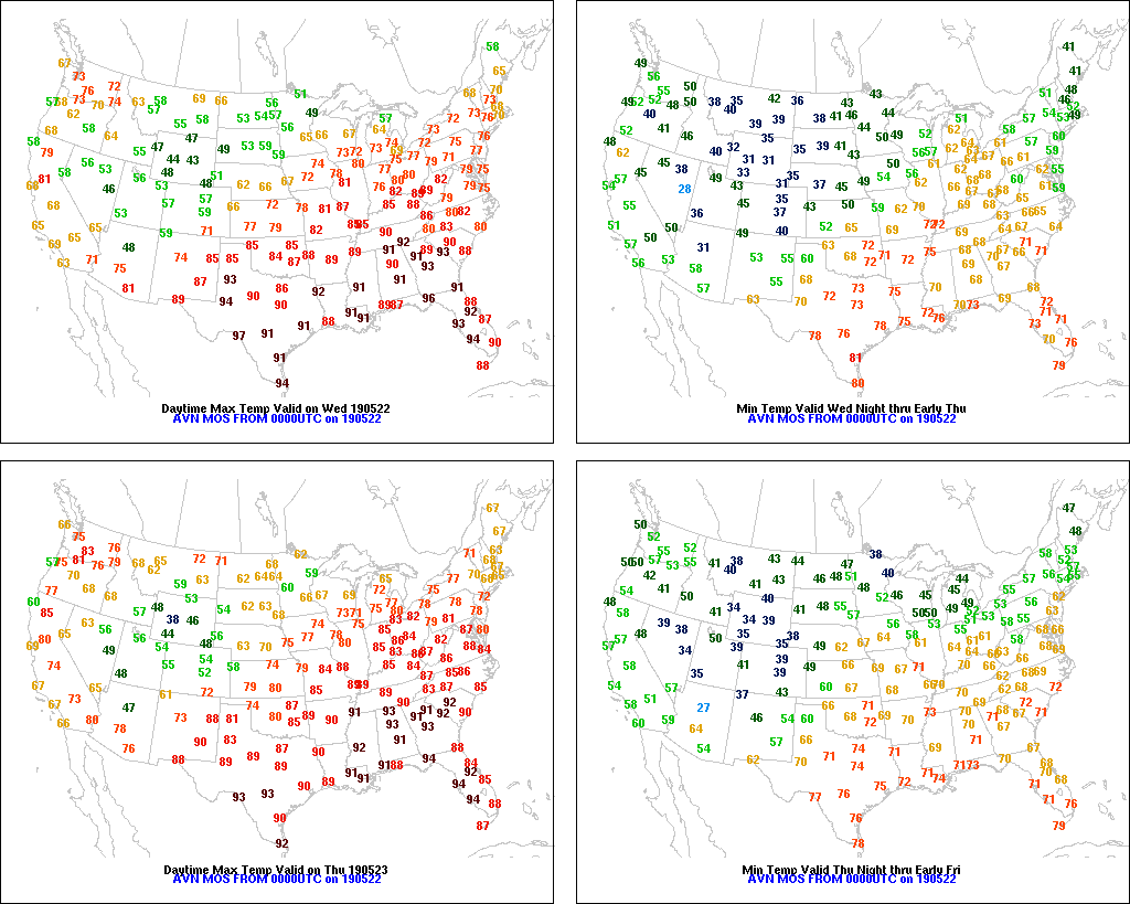
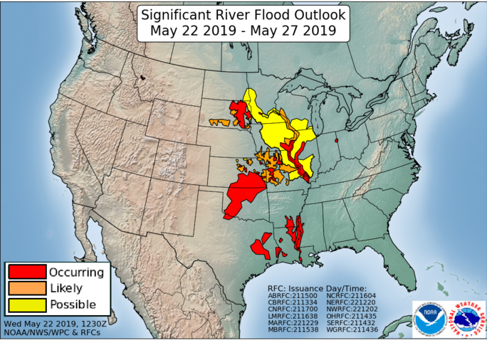
On the Plains, Frost Advisories and Freeze Warnings were in effect early Wednesday across eastern Colorado and westernmost Kansas. Meanwhile, cool, rainy, breezy weather on the northern Plains has halted fieldwork and crop development. Snow is blanketing the Black Hills and environs. Elsewhere, widespread lowland flooding persists across central and eastern sections of Kansas and Oklahoma, following recent downpours.
In the South, showers and thunderstorms are edging into northwestern areas, including Arkansas. Elsewhere, warm, dry weather continues to favor a rapid pace of fieldwork and crop growth. Among major U.S. row crops, only peanuts (63% planted on May 19, compared to the 5-year average of 55%) are being planted at a pace that is substantially ahead of average.
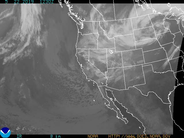
In the West, very cool weather accompanies scattered showers. Crop development has slowed in recent days due to the extended spell of below-normal temperatures. In addition, breezy conditions linger in some areas, particularly the Great Basin and the Southwest.
Add Comment