Weather
Flood recovery in parts of the western Corn Belt
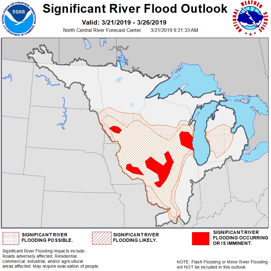
Across the Corn Belt, showery, windy weather dominates the lower Great Lakes region. Rain has changed to snow showers in some northern areas. Meanwhile, flood recovery in the western Corn Belt continues under a dry weather pattern, allowing producers in the hardest-hit areas to further assess impacts on livestock, stored crops, farm equipment, and agricultural infrastructure.
On the Plains, near- or above-normal temperatures prevail. A few rain showers are developing across the southern High Plains, but dry weather prevails in flood-recovery areas of eastern Nebraska and environs.
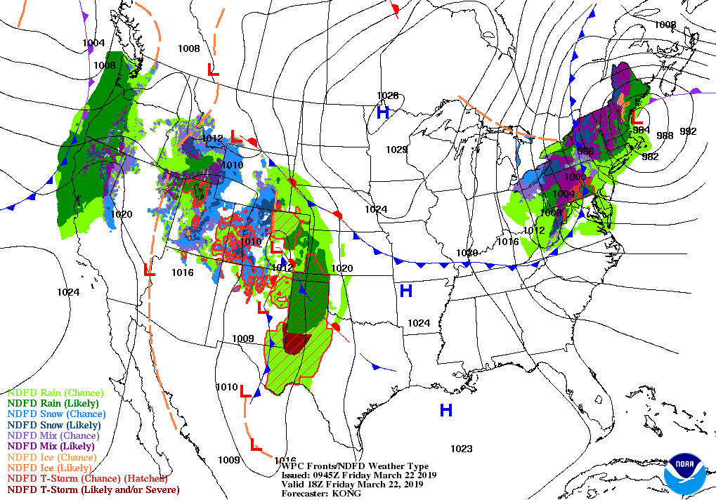
In the South, breezy weather prevails from the Tennessee Valley into the southern Mid-Atlantic. Dry weather covers the entire region, following Thursday’s heavy rain in the Mid-Atlantic States.
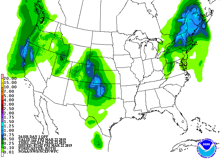
In the West, scattered rain and snow showers stretch from the Intermountain region to the central and southern Rockies. Farther north, record-setting warmth is ending across the Pacific Northwest, but warmer-than-normal weather lingers in the northern Rockies. Elsewhere, rainfall associated with a Pacific storm is approaching coastal northern California.
Add Comment