Weather
Pattern remains very active Nationwide
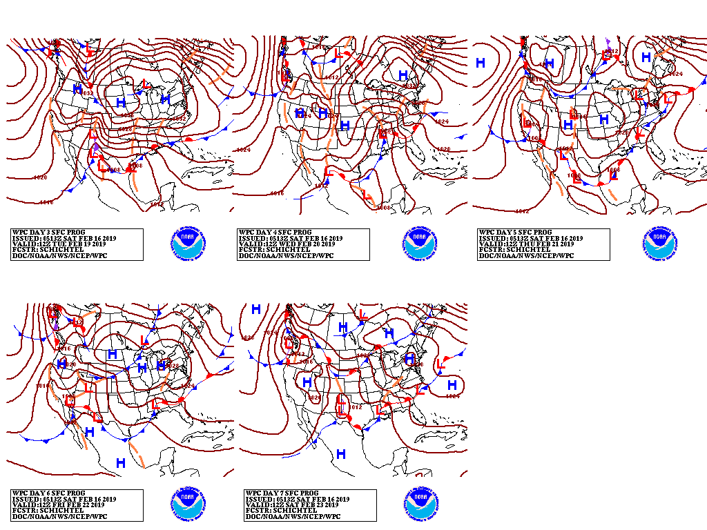
A series of poorly organized disturbances will traverse the country during the next several days, delivering widespread, generally light rain and snow. In the West, precipitation will taper to scattered rain and snow showers, although chilly conditions will persist and—in some areas—further intensify.
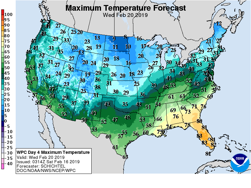
Substantially below-normal temperatures will also expand to cover all of the Great Plains. In contrast, warmth will linger through the weekend in the Deep South, and into next week across Florida.
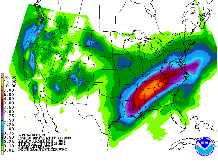
By next Tuesday, a more cohesive storm system will begin to develop across the South, resulting in possible heavy rain in the Tennessee Valley and the southern Appalachians, and wintry precipitation in the Mid-Atlantic States.
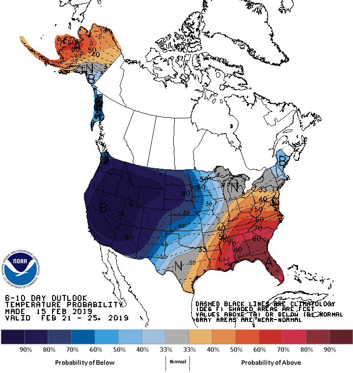
Looking ahead, the 6- to 10-day outlook calls for below-normal temperatures across the western and central U.S., as well as New England, while warmer-than-normal weather will prevail in the Southeastern and Mid-Atlantic States.
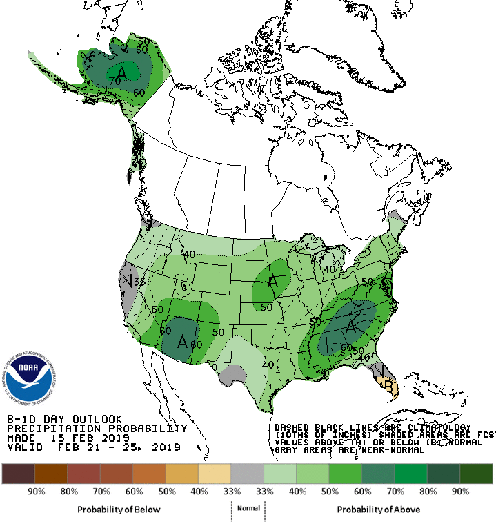
Meanwhile, near- or above-normal precipitation will occur nationwide, except in parts of Texas.
Add Comment