Weather
A stormy pattern late next week for the Heartland
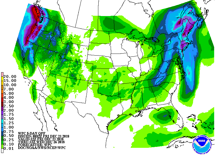 A storm system over the Appalachians will move northward into eastern Canada during the weekend. Additional rainfall in the Northeast could total 1 to 2 inches, with freezing rain expected early Friday in parts of northern New England. In the storm’s wake, accumulating snow will blanket the Appalachians and some areas downwind of the Great Lakes, starting later Friday.
 Meanwhile, periods of Pacific storminess will continue across the Northwest, with snow mostly limited to higher elevations of the Cascades, Sierra Nevada, and northern Rockies.
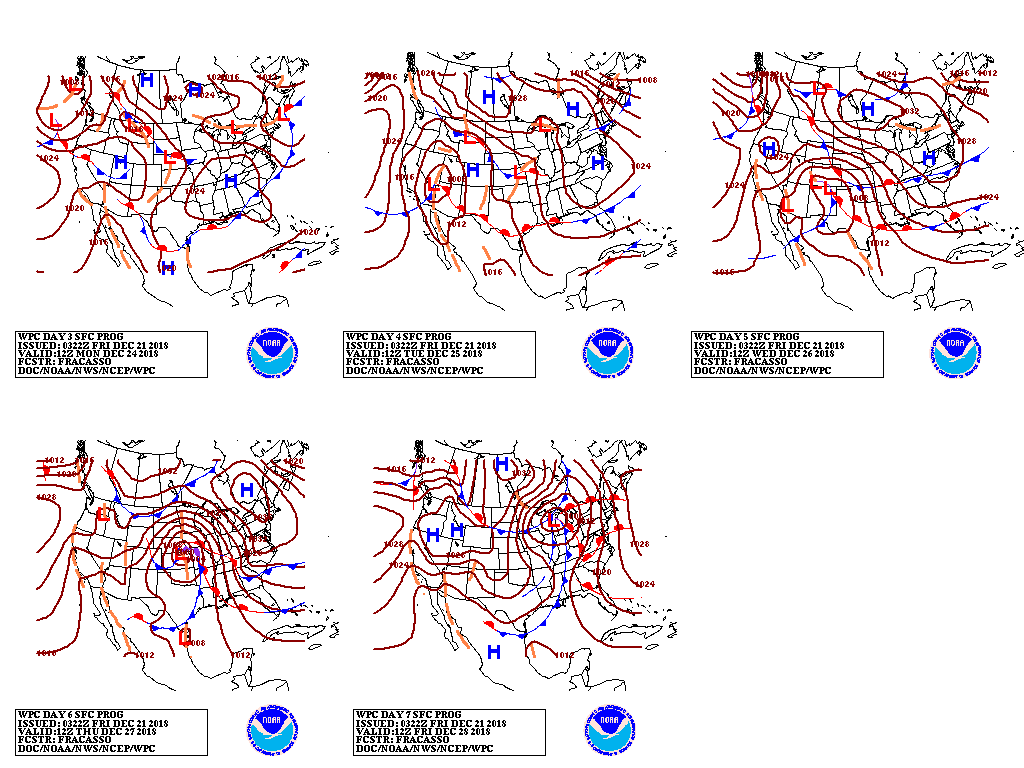 By Christmas Eve and Christmas Day, a storm system will begin to take shape across the western U.S., with rain and snow showers becoming more widespread across interior locations. Much of the remainder of the country, including the Plains and the Southwest, will experience mild, dry weather as Christmas approaches.
 Looking ahead, the 6- to 10-day outlook calls for above-normal temperatures across much of the eastern half of the U.S., while colder-than-normal conditions should prevail from the Pacific Cost to the High Plains.
 Meanwhile, near- to below-normal precipitation in the Pacific Coast States will contrast with wetter-than-normal weather across the remainder of the country.
Add Comment