Weather
A moisture-laden pattern for the Heartland
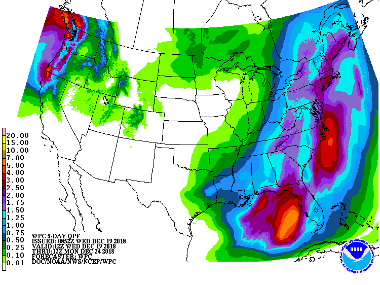 A complex storm system developing across the nation’s mid-section will become a more cohesive low pressure system on Thursday over the Southeast. From there, the storm will move almost due northward into eastern Canada by Saturday. Storm-total precipitation—mostly rain—could reach 1 to 3 inches or more across the eastern U.S. Late in the week, rain will change to snow showers and squalls in the Appalachians and downwind of the Great Lakes.
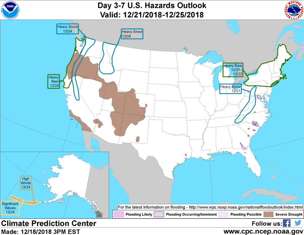 Farther west, periods of rain and high-elevation snow will continue in the Northwest, while mild, dry weather will stretch from southern California to the central and southern Plains.
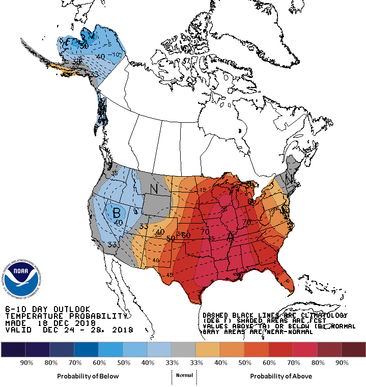 Looking ahead, the 6- to 10-day outlook calls for above-normal temperatures across much of the central and eastern U.S., while colder-than-normal conditions will cover the interior West.
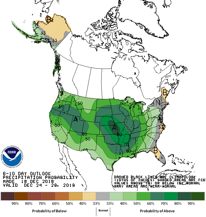 Meanwhile, wetter-than-normal weather across most of the country will contrast with below-normal precipitation along portions of the Atlantic Seaboard.
Add Comment