Weather
Temps to moderate, active pattern continues
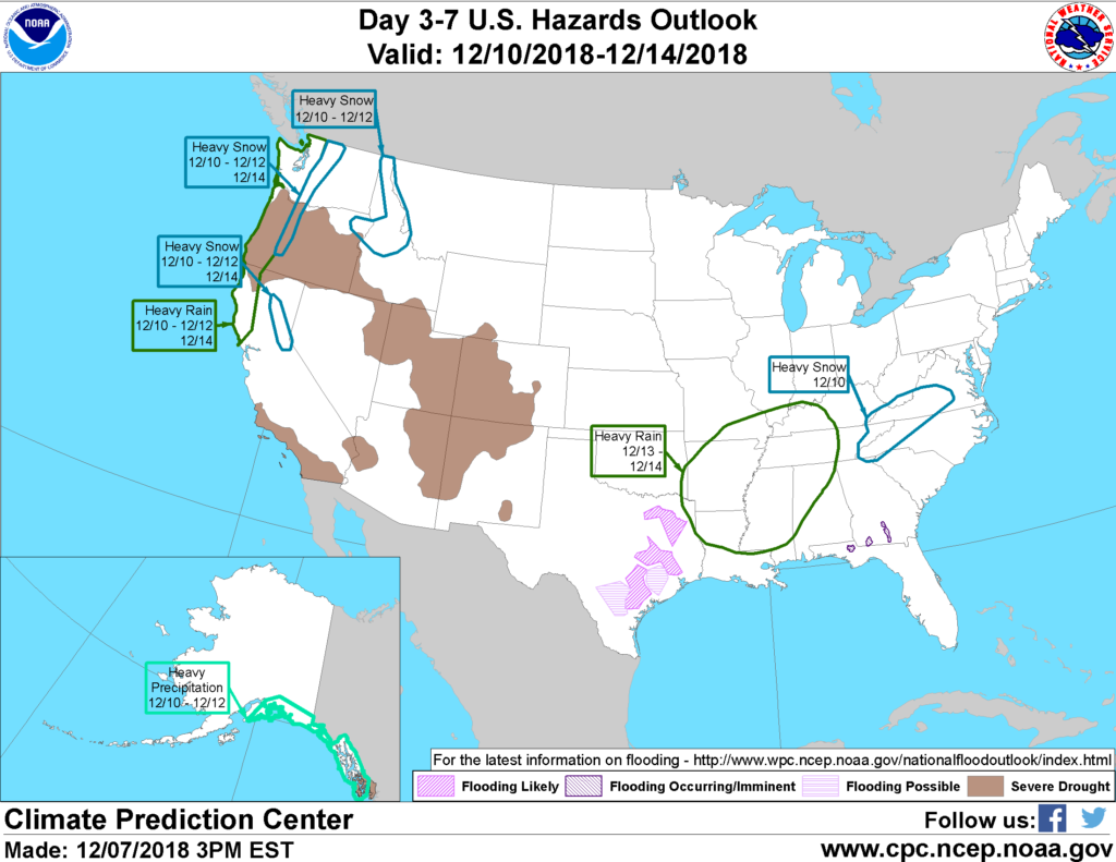 A period of generally tranquil weather will prevail through mid-week. Lingering precipitation in the southern Mid-Atlantic region will end later Monday, but rain and snow showers will spread further inland across the Northwest.
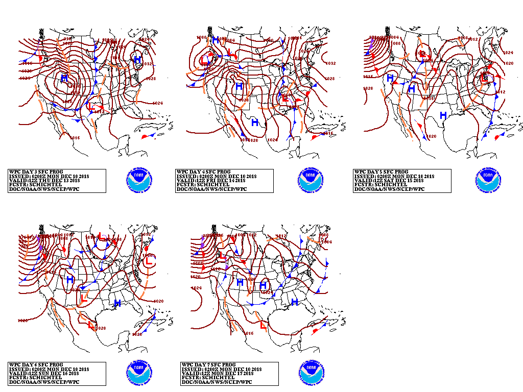 By mid-week, a new storm system will emerge from the Rockies and cross the southern Plains. Late in the week, the slow-moving storm will produce another round of heavy precipitation across the South and could result in accumulating snow from the Ohio Valley into parts of the eastern U.S.
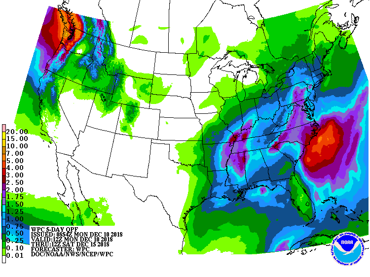 Five-day precipitation totals could reach 1 to 2 inches or more from the Mississippi Delta into portions of the East, but mostly dry weather will prevail from the Southwest to the northern and central Plains and upper Midwest.
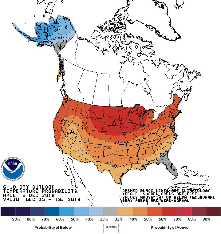 Looking ahead, the 6- to 10-day outlook calls for warmer-than-normal weather nationwide, except for near-normal temperatures in Florida. Meanwhile, near- to above-normal precipitation in much of the country will contrast with drier-than-normal conditions across the northern and central Plains and upper Midwest.
Add Comment