Weather
Milder days ahead for the Heartland
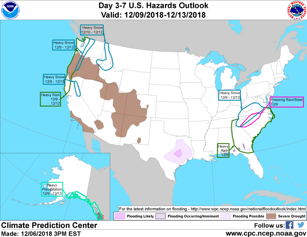
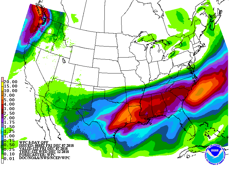 A slow-moving storm crossing the South will produce widespread precipitation (rain, freezing rain, sleet, and snow) from the southernmost Rockies into the Southeast. Flooding may occur, starting later Friday, in the western Gulf Coast region, where storm-total rainfall could reach 2 to 6 inches or more. Heavy rain will also soak the lower Mississippi Valley and much of the Southeast.
Meanwhile, wintry precipitation could cause travel and electrical disruptions from southern sections of the Rockies and Plains into the southern Appalachians.
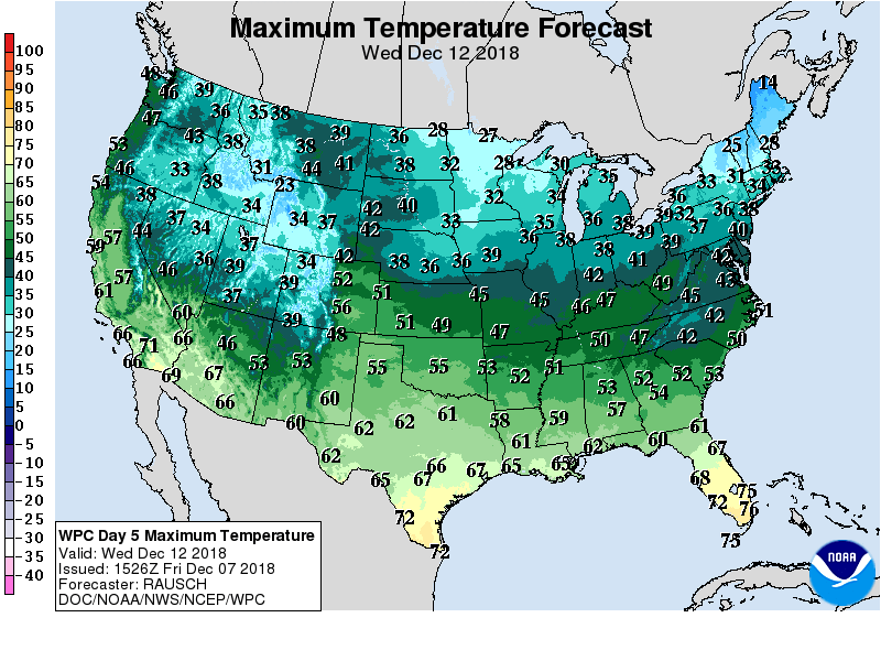 By early next week, precipitation will return across the Pacific Northwest, while the remainder of the northern and western U.S. will experience dry weather and a warming trend.
 Looking ahead, the 6- to 10-day outlook calls for near- or above-normal temperatures and precipitation nearly nationwide. Colder-than-normal conditions will be limited to the Intermountain West, while drier-than-normal weather should be restricted to the northern Plains.
Add Comment