Weather
Cool, largely favorable weather for the Corn Belt
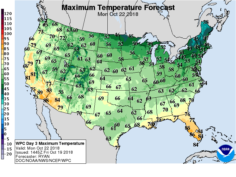 Late-season warmth will continue across West, except for lingering cool conditions in the southern Rockies. Meanwhile, another strong surge of cool air will overspread the Midwest and Northeast during the weekend, with below-normal temperatures later expanding to cover the eastern half of the country. Showers will precede and accompany the surge of cool air, with rain lingering into the weekend across the South and East.
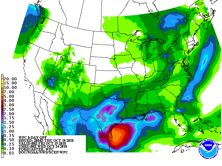 Early next week, a new storm system will begin to form across the South, with heavy rain possibly returning to Texas and environs. In contrast, dry weather will prevail during the next 5 days in much of California and across northern sections of the Rockies and Plains.
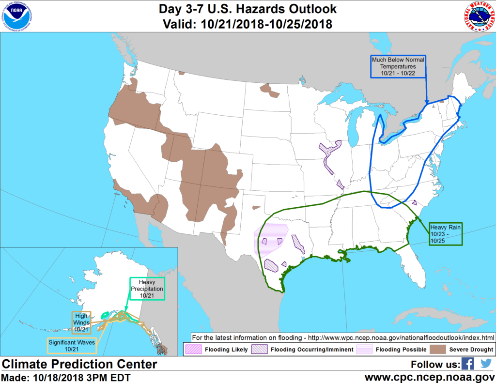 Looking ahead, the 6- to 10-day outlook calls for cooler-than-normal conditions across much of the eastern half of the U.S., while near- to above-normal temperatures will prevail in the western half of the country and along and near the Gulf Coast. Meanwhile, wetter-than-normal weather across most of the nation should contrast near- to below-normal precipitation in the Southwest and from the upper Great Lakes region into New England.
Add Comment