Weather
A chilly pattern for the Heartland
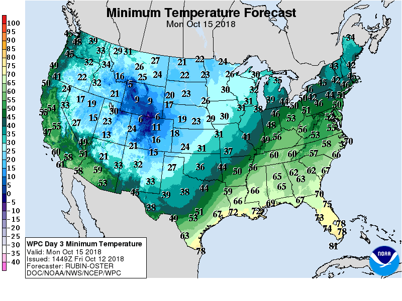 Another surge of cold air will reach the nation’s mid-section during the weekend and soon overspread much of the remainder of the country. Warmth will prevail, however, in the Far West and linger across the lower Southeast. By early next week, freezes can be expected across much of the Plains and Midwest.
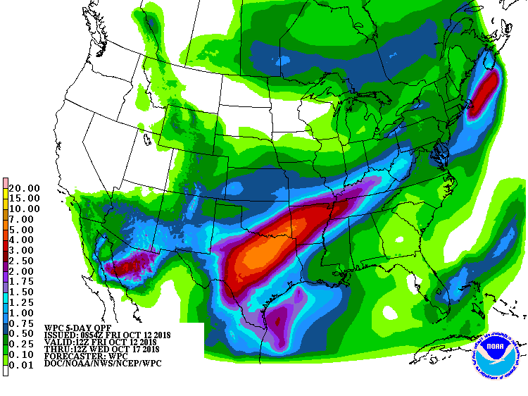 Meanwhile, widespread precipitation will precede and accompany the cold surge. The first batch of rain, associated with the remnants of former Hurricane Sergio, will primarily affect the southwestern and south-central U.S. Later, widespread showers will affect the South, East, and lower Midwest, while snow can be expected across central and southern sections of the Rockies and High Plains.
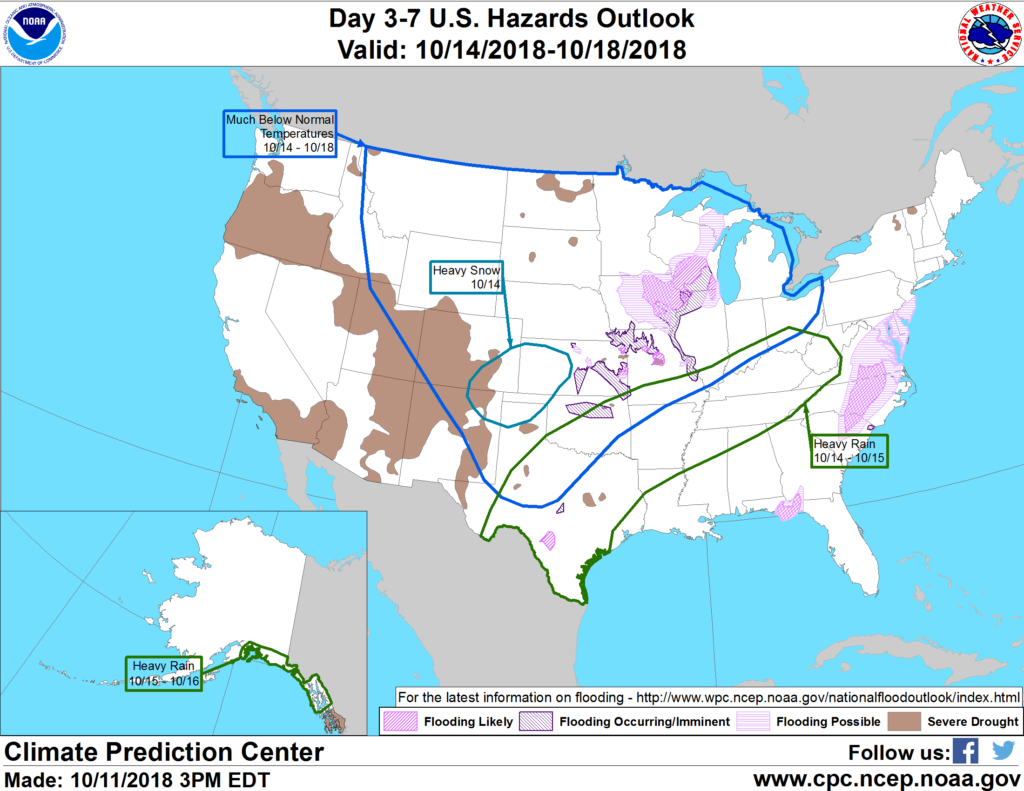 Looking ahead, the 6- to 10-day outlook for the likelihood of near- to below-normal temperatures and precipitation across most of the country. Warmer-than-normal weather will be limited to Florida, the Pacific Coast States, and northernmost sections of the Rockies and High Plains, while wetter-than-normal conditions should be confined to Florida’s peninsula and the Rio Grande Valley.
Add Comment