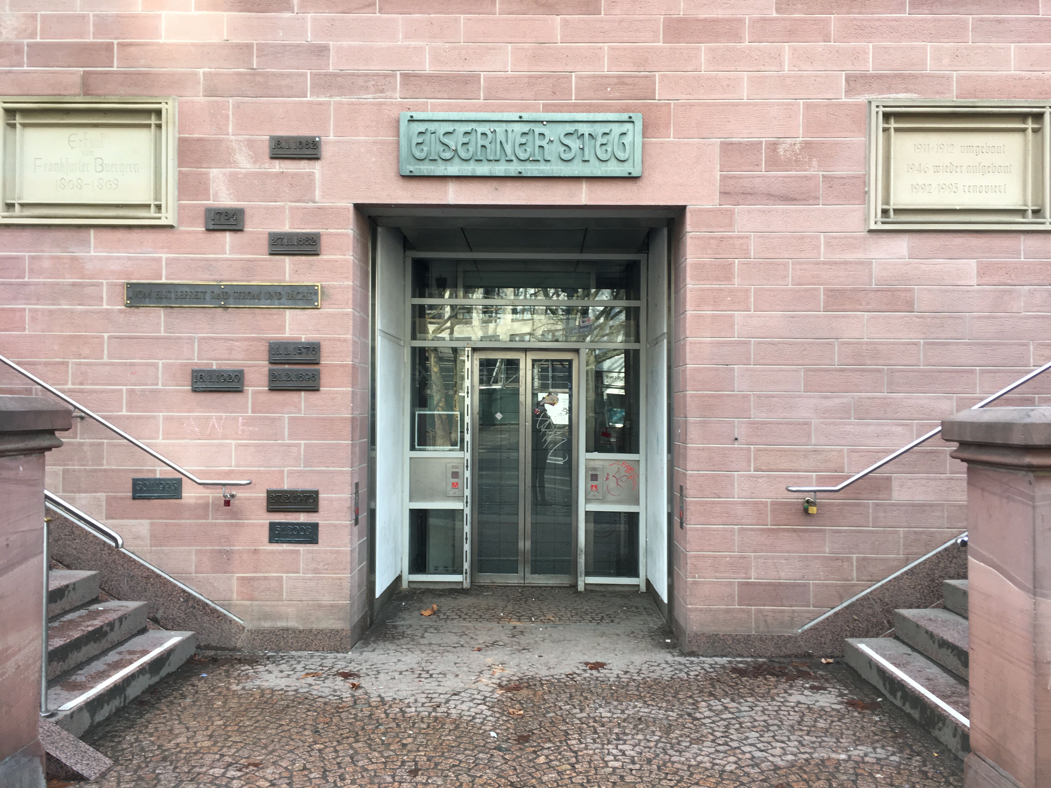
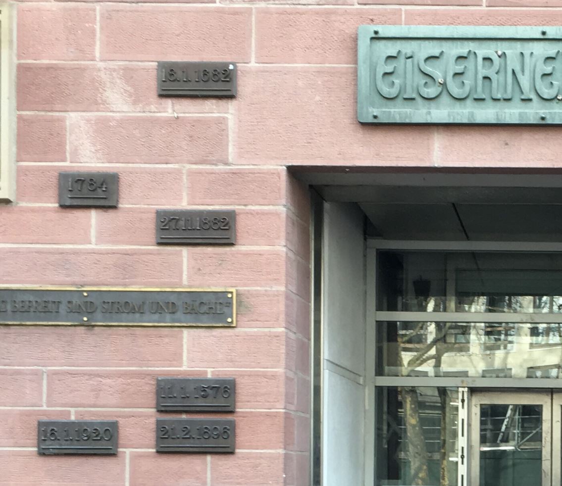
I went on a walking tour of Frankfurt, Germany and was enthralled by the flood markers on a bridge on the river Main. Here is a picture of the flood markers. The plaques on the left show the height of the flood waters and the dates when they occurred. I zoomed in below so you can see them better.
 \
\
Places where floods occur regularly, such as coastal areas, often have markers that indicate the height of the flood waters. These markers can be formal, as in Frankfurt, or informal. They intend to provide a recording of the historic flooding that occurred and to communicate this information to future generations.
Flood markers are important in areas that are flood prone, because serious floods may occur fairly rarely. It’s easy to forget how bad the last flood really was and to make poor flood-related decisions, like build in low-lying areas that could floor and not buy mandatory flood insurance. I once blogged about this issue in my post “flood risks and management science”.
The Floodstone project seeks to create a database of flood markers. This website on flood markers contains a collection of images illustrating the height of the flood waters. It includes an image from Frankfurt as well as many others. Another site contains images only from the 1974 flooding in Brisbane to illustrate the variety of ways a flooding was recorded.
For more reading:
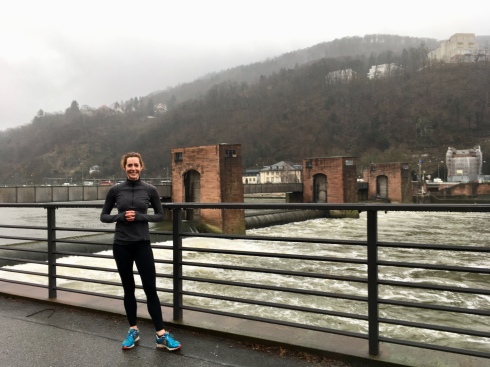
Other pictures from my trip:


Leave a comment