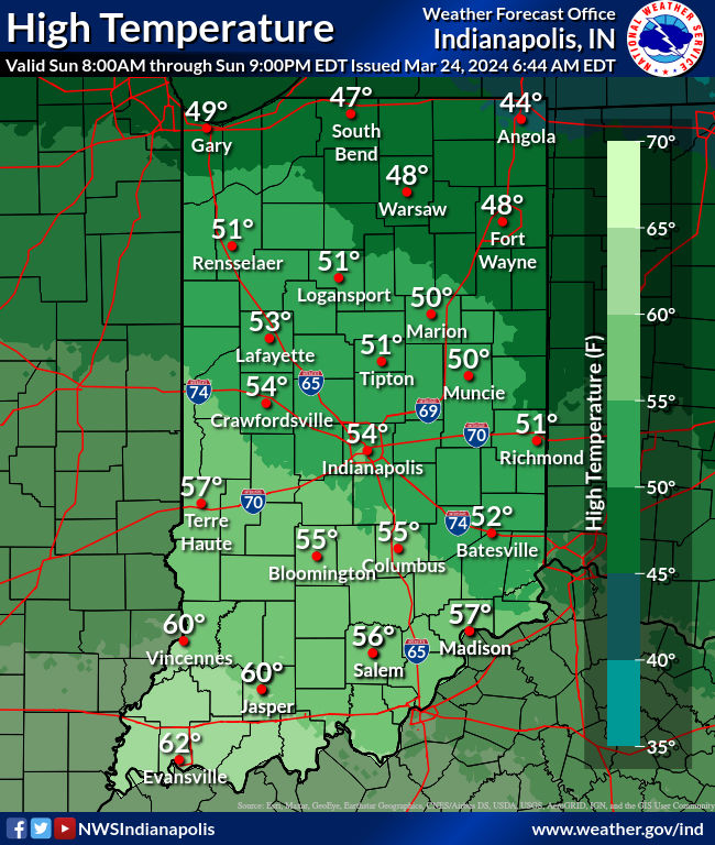
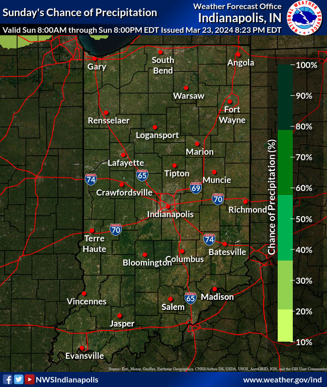
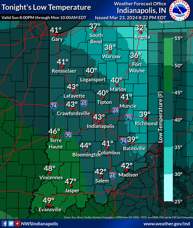
A pretty quiet weather weekend continues. Highs won’t be as cold as yesterday, at least after we get through the hard freeze of Sunday morning.
SUNDAY MORNING LOWS
23 Muncie
25 Anderson
27 Kokomo
30 Lafayette, Terre Haute
31 Indianapolis
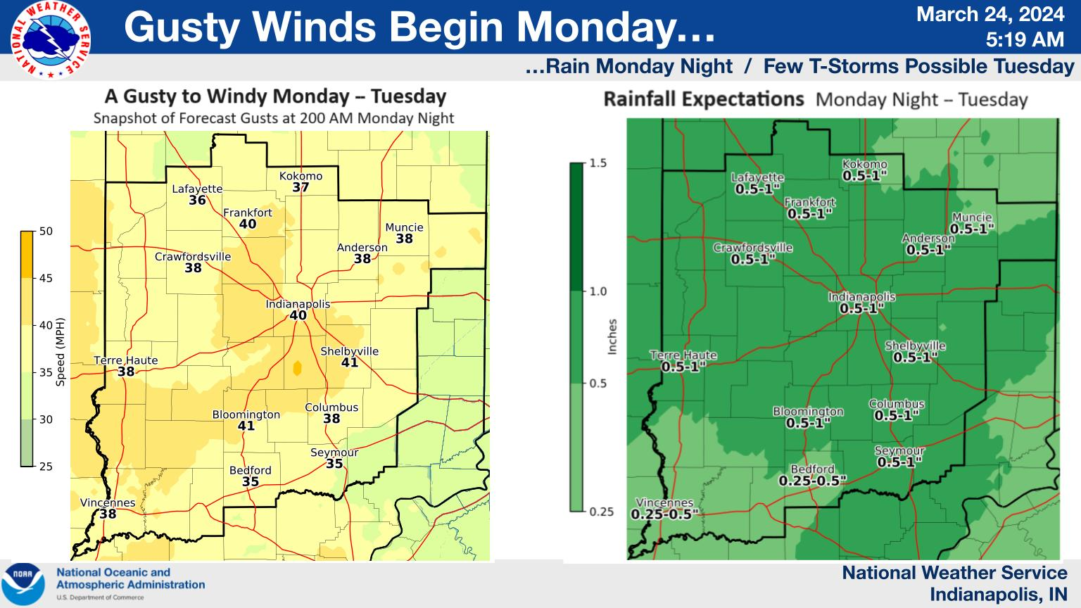
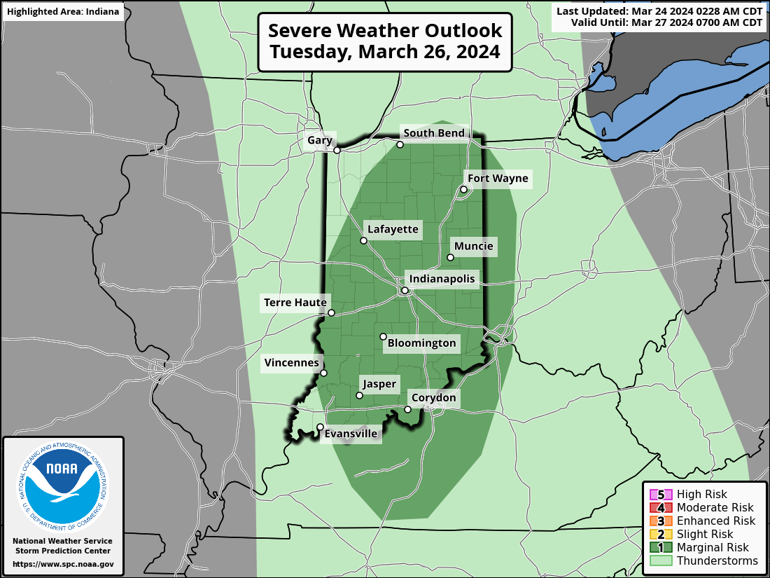
Highs return to the 50s today. It warms into the 60s tomorrow. A potent storm system will bring 36 hours of gusty to windy conditions starting Monday … and steady to perhaps briefly heavy rain Monday night, before a few t-storms on Tuesday. Expect wind gusts up to 30-40 mph, and rainfall around 0.50 inches for most locations. A few of the storms Monday could be severe, with respect to large hail and damaging wind.
Never miss me! Subscribe for free. My Huge Radar has real-time weather tracking, current temperatures, and severe weather watches and warnings. Get detailed Indiana conditions by clicking here. Click here to see my central Indiana 7-Day Forecast. Follow these links to get my forecasts for Lafayette, Muncie, Hendricks County, and Hamilton County. Need a second opinion? Click here for central Indiana National Weather Service forecasts. (Some charts via WeatherBELL.)


