A stunning new composite image, made up of nearly 7,000 individual snaps taken by the European Space Agency's (ESA) Sentinel-2A, shows a completely cloud-free view of the African continent. It took the satellite some four months to gather the photos, with most of the shots taken between December 2015 and April 2016.
Just how much land is covered in the mosaic? Well, the release includes the entire African continent, which means we're looking at over 30 million square kilometres, or 11.67 million square miles of land. Incredibly, the continent represents about 20 percent of the total land area in the world.
The mosaic is the first of its kind generated as part of the ESA's Climate Change Initiative Land Cover project. The images was taken by the agency's Sentinel-2A satellite, which was launched in June 2015.
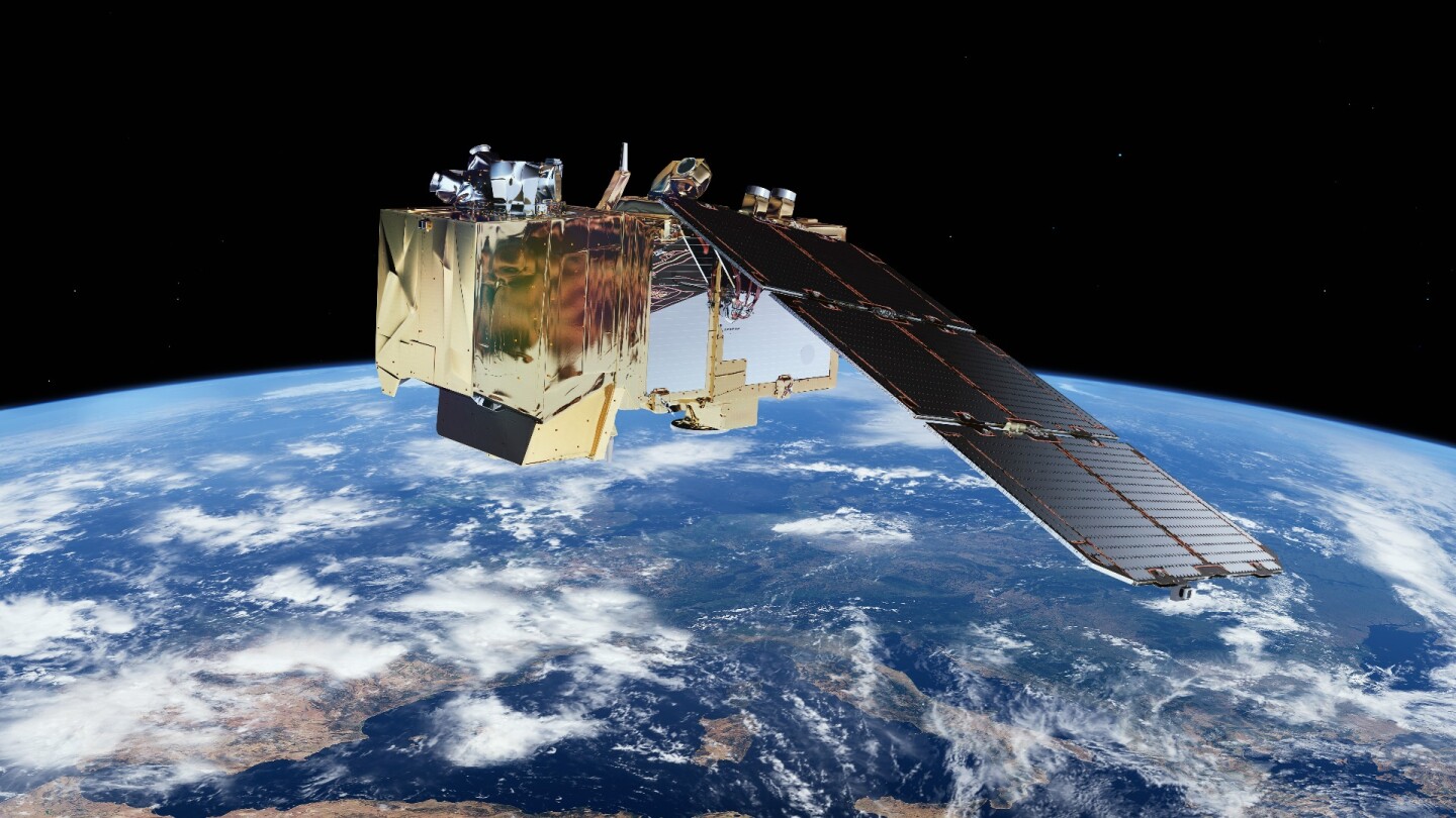
The probe carries a multispectral imager that's able to gather information about changes in land cover, providing insights that help monitor the planet's forests, detect pollution in lakes and around coasts, and improve agricultural practices.
A second, identical satellite – Sentinel-2B – is set to launch next year, at which point the two probes will work together to image Earth's land masses and coasts once every five days. Once both satellites are gathering data, it'll be much easier for ESA to create more, similarly stunning cloud-free mosaics.
Source: ESA