Weather
Pattern remains active across much of the Corn Belt
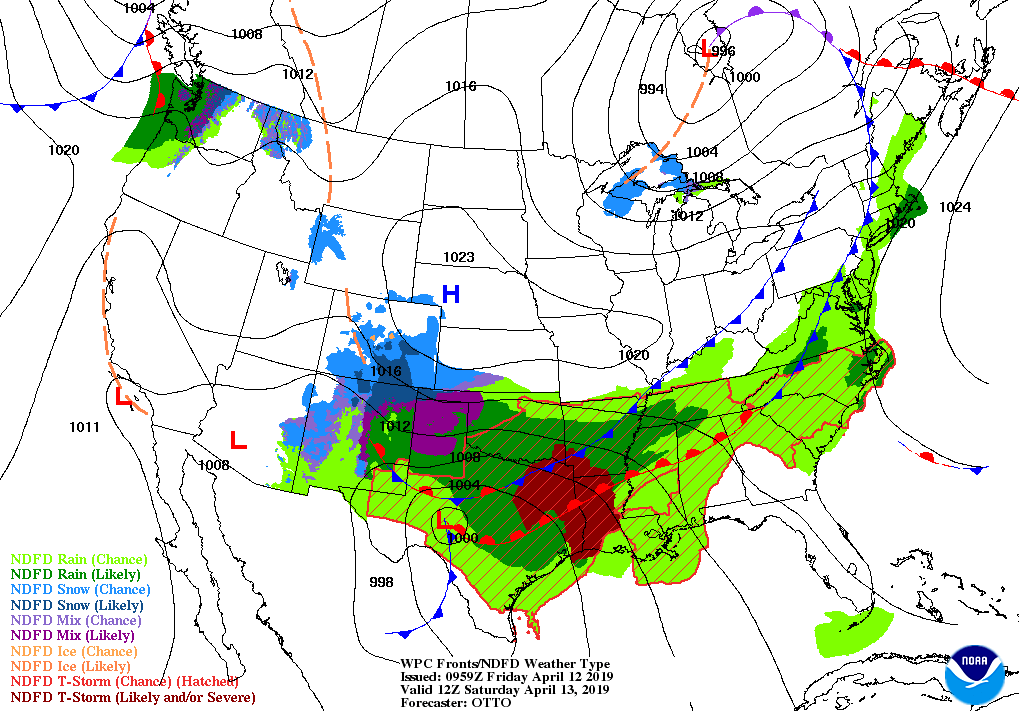
A storm system currently centered over the upper Midwest will drift northeastward and gradually weaken. Storm impacts, such as wind-driven snow, will gradually subside across the north-central U.S.

However, lowland flooding in several upper Midwestern river basins could intensify next week due to melting snow as temperatures rebound to above-normal levels.
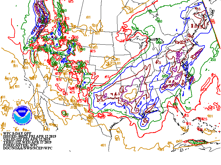
Farther south, a weekend storm system will lead to heavy rain (locally 1 to 3 inches or more) in the South, East, and lower Midwest, except in southern Texas and peninsular Florida.
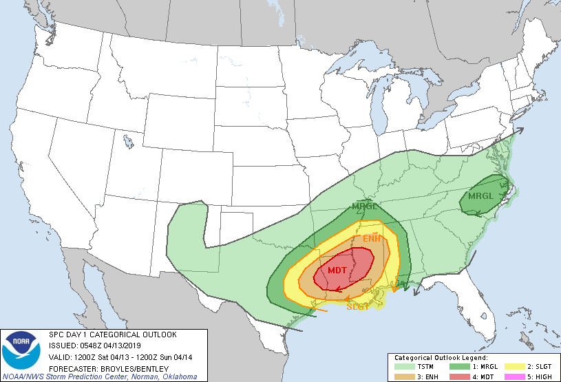
In addition, strong to locally severe thunderstorms will sweep across the South.

Elsewhere, unsettled, showery weather will return during the weekend, lingering into next week, across the Northwest.
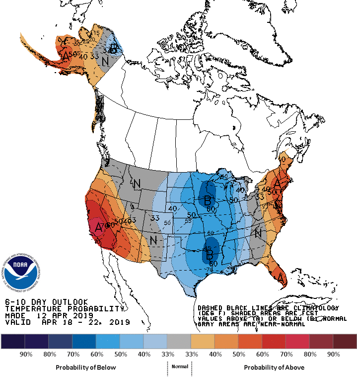
Looking ahead, the 6- to 10-day outlook calls for below-normal temperatures across the Plains and Mississippi Valley, while warmer-than-normal weather will prevail along the Atlantic Coast and west of the Rockies.
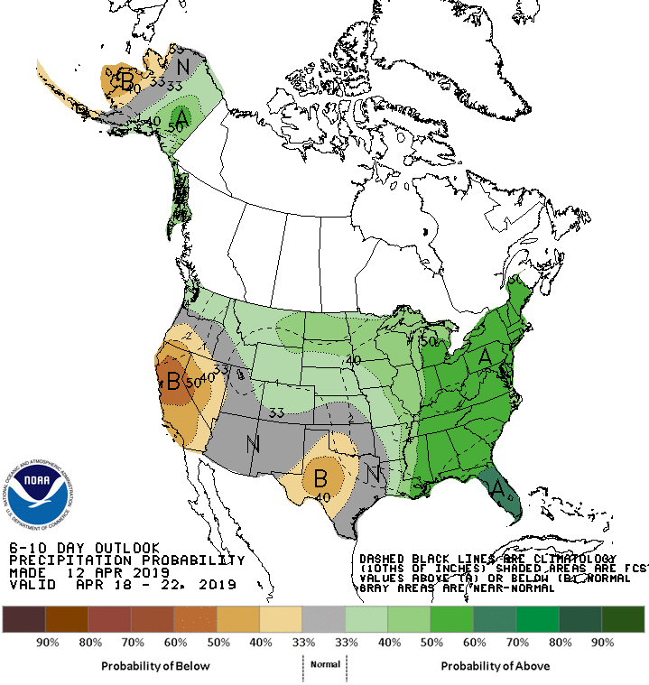
Meanwhile, near- or above-normal precipitation across most of the country will contrast with drier-than-normal conditions in much of Texas and the Far West, including California.
Add Comment