Weather
Storminess ahead for the southern-tier of the U.S.
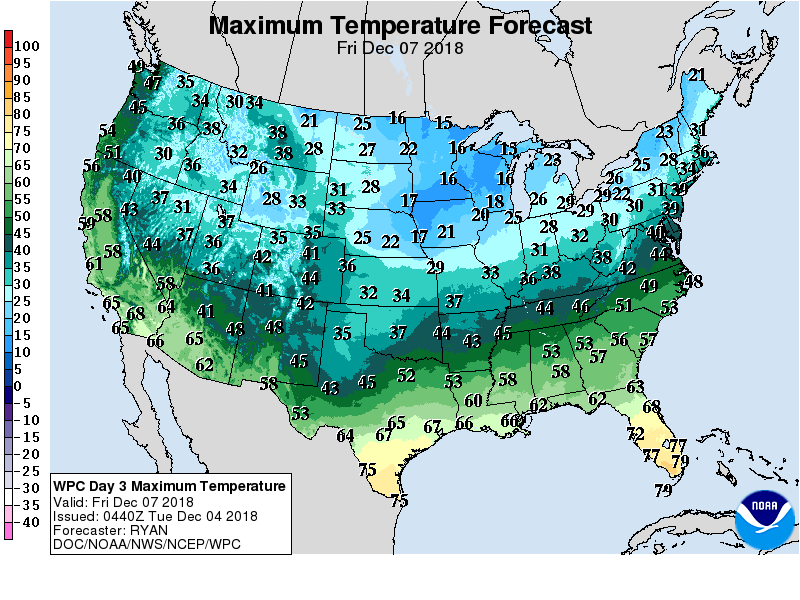 Cold but mostly tranquil weather will prevail nearly nationwide during the next several days. However, locally heavy showers will linger today across the lower Southeast, while snow showers will develop downwind of the Great Lakes.
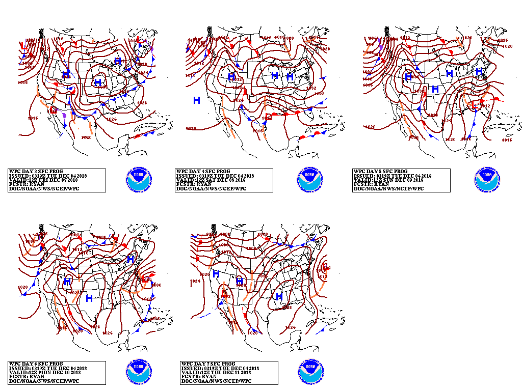 During the mid- to late-week period, a storm system will arrive in California and drift eastward across the nation’s southern tier. Heavy rain could fall in recently burned areas of southern California, while drought-easing precipitation will fall in parts of the Southwest.
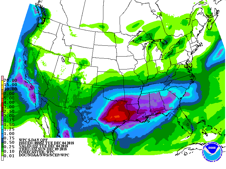 Late in the week, starting on Friday, heavy rain will erupt across the south-central U.S. From the southern High Plains into the mid-South, the northern edge of the precipitation shield may include snow, sleet, and freezing rain.
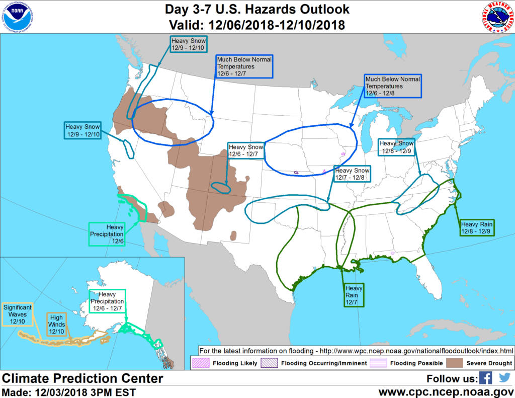 Looking ahead, the 6- to 10-day outlook calls for the likelihood of near- or below-normal temperatures across most of the country. Warmer-than-normal weather will be limited to the Pacific Coast States, the Desert Southwest, and the northernmost Plains. Meanwhile, below-normal precipitation from the northern Plains into the Northeast should contrast with wetter-than-normal conditions across the South and the Far West.
Add Comment