Weather
Mild; early-harvest delays to expand
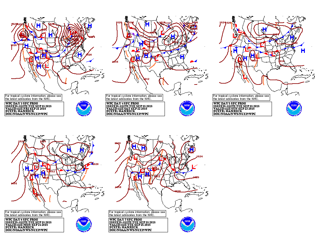
 The remnants of Hurricane Florence —now a tropical depression centered in Pennsylvania —will produce locally heavy showers in the Mid-Atlantic and Northeastern States before finally exiting the coast Tuesday night.
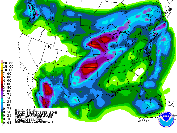
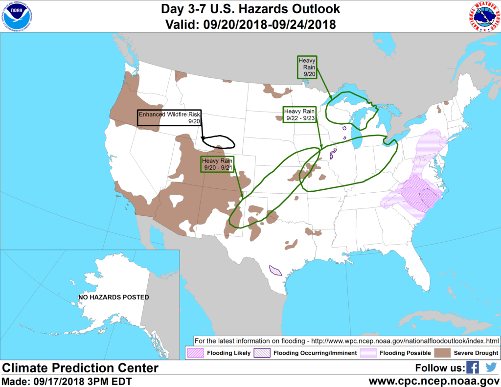
 Meanwhile, showers will increase and intensify along and north of a stationary front from the northern half of the Plains into the western and northern Corn Belt; rain will be enhanced by an area of low pressure expected to develop along the front during the latter half of the week. Farther south, tropical moisture will surge northward across the Four Corners Region, fueling increasingly heavy showers. This moisture will ultimately lead to moderate to heavy rain on the southern Plains by week’s end. The remainder of the West will remain warm and dry, while mostly sunny skies aid flood recovery efforts in the Southeast.
 Looking ahead, the 6- to 10-day outlook calls for above-normal temperatures nationwide, except for cooler-than-normal conditions from California and the Pacific Northwest eastward along the Canadian border. Meanwhile, above-normal rainfall is anticipated across much of the Nation, save for a pocket of drier-than-normal conditions in the Four Corners States.
Add Comment