Weather
Rains shift across the eastern, southern Corn Belt
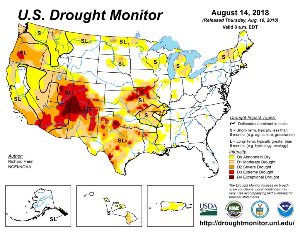
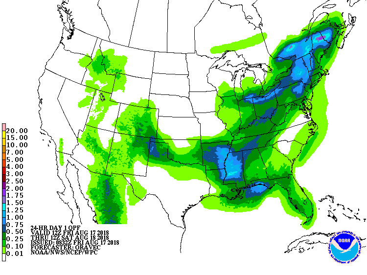 Across the Corn Belt, mild, dry weather has returned to the upper Midwest. However, locally heavy showers and thunderstorms are occurring across the southern and eastern Corn Belt, generally benefiting summer crops and providing drought relief in Michigan and the southwestern Corn Belt.
 On the Plains, another late-summer heat wave is underway across Montana and the Dakotas, favoring small grain harvesting but depleting topsoil moisture. Meanwhile, thunderstorms in the vicinity of a cold front are affecting portions of the southeastern Plains.
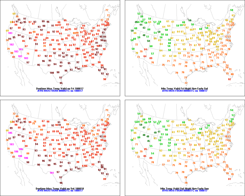 In the South, hot, humid weather continues to promote pasture growth and rapid summer crop development. However, locally heavy showers are falling in a few areas, including the Tennessee Valley and the central Gulf coast region.
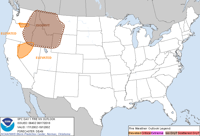 In the West, cloudiness and isolated showers related to the monsoon circulation are expanding northward from the Four Corners States. Although a few thundershowers have developed in the Northwest, some are producing lightning without the benefit of much rainfall, leading to an elevated risk of new wildfires. Air quality remains poor in much of the Northwest due to smoke and particulate matter from already active fires.
Add Comment