Weather
An active pattern across the Heartland
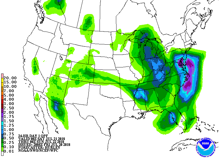 Across the Corn Belt, cool, showery weather prevails across the upper Midwest. Showers are also sweeping across the eastern Complex, where severe thunderstorms may develop later Friday.
 On the Plains, intense heat is maintaining stress on crops and livestock across roughly the southern half of the region. On July 19, daily-record high temperatures were established in Texas locations such as Wichita Falls (112°), Borger (109°), and Dallas-Ft. Worth (108°), and similar readings can be expected again Friday. In contrast, cool weather prevails across Nebraska and the Dakotas.
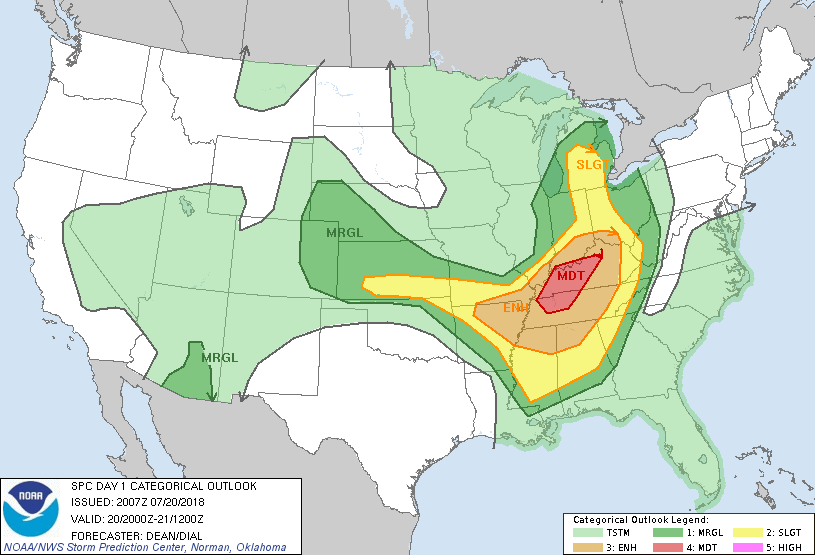 In the South, unsettled, humid, showery weather prevails. A day after deadly thunderstorms ripped across southwestern Missouri, the greatest threat for severe weather has shifted eastward into the Tennessee Valley and environs. Meanwhile, heavy rain in the southern Atlantic States could result in flash flooding. In stark contrast, hot, dry weather in the western Gulf Coast region is increasing stress on crops such as rice and cotton.
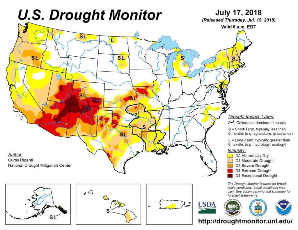 In the West, isolated showers associated with the Southwestern monsoon circulation are occurring in the southern Great Basin and the Four Corners States. Meanwhile, an elevated threat of wildfire activity exists in parts of the Northwest, where hot, dry conditions persist.
Add Comment