Weather
Cooler across the Heartland
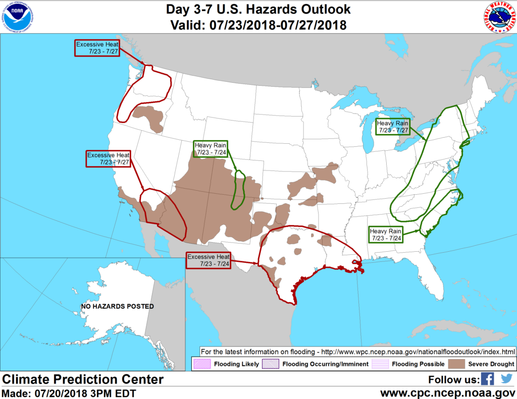
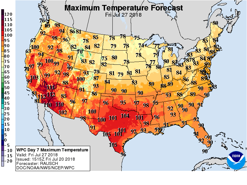 Excessively hot weather will persist through the weekend on the southern Plains, followed by favorably cooler conditions next week. Heat will continue, however, across much of the western U.S.
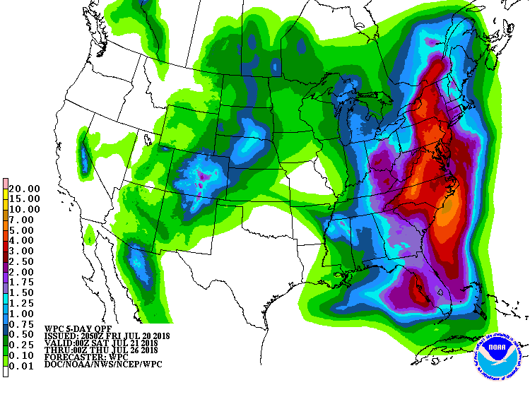 In contrast, most areas east of the Mississippi River will experience periods of heavy showers and thunderstorms. Five-day rainfall totals could reach 2 to 6 inches or more in the middle and southern Atlantic States, while 1- to 3-inch totals can be expected from the eastern Corn Belt into the Northeast. Conversely, dry weather will prevail during the next 5 days in the western Gulf Coast region and from the southern Plains into the southwestern Corn Belt. Dry weather will also cover the Northwest, while scattered showers will stretch from the Southwest to the northern Plains.
 Looking ahead, the 6- to 10-day outlook calls for the likelihood of below-normal temperatures across the Plains, Midwest, and mid-South, while hotter-than-normal weather will prevail in Florida, Texas, New England, and the western U.S. Meanwhile, near- to above-normal precipitation across much of the country should contrast with drier-than-normal conditions from the Pacific Northwest into the upper Midwest.
Add Comment