Weather
Storms, heat & humidity in the days ahead
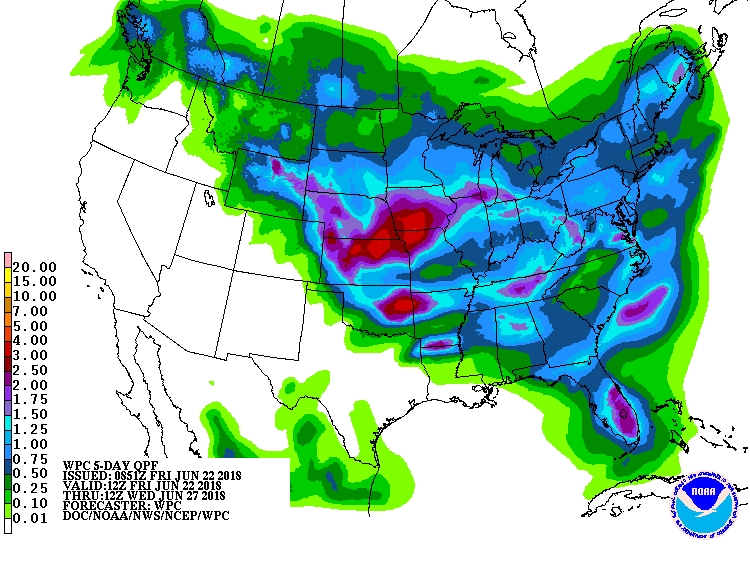 The nation’s midsection will remain the focus for stormy weather through the weekend, with a potential for strong storms and localized flooding over the central and southern Plains. Three-day rainfall totals of 2 inches or more are possible from Nebraska to eastern Oklahoma, and heavy rain is forecast to move into drought-affected sections of northern Missouri early next week. However, the bulk of the rain may miss the southern High Plains, with warmth and dryness expected to persist in farming areas of West Texas.
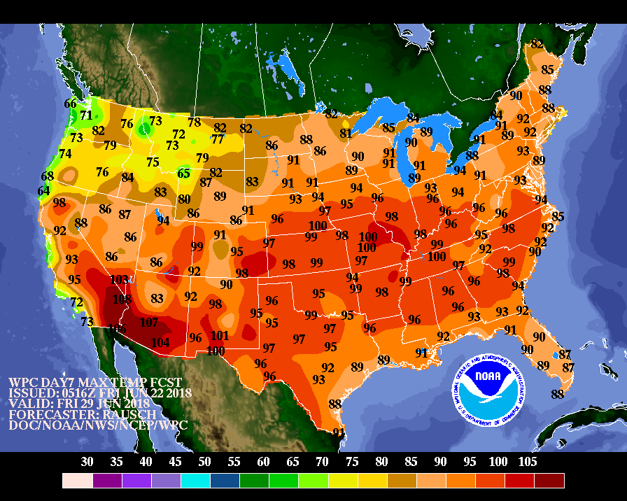 Warm, dry weather will also continue to dominate much of the West, including California and the Four Corners Region, though dangerous heat should gradually abate in southern agricultural areas.
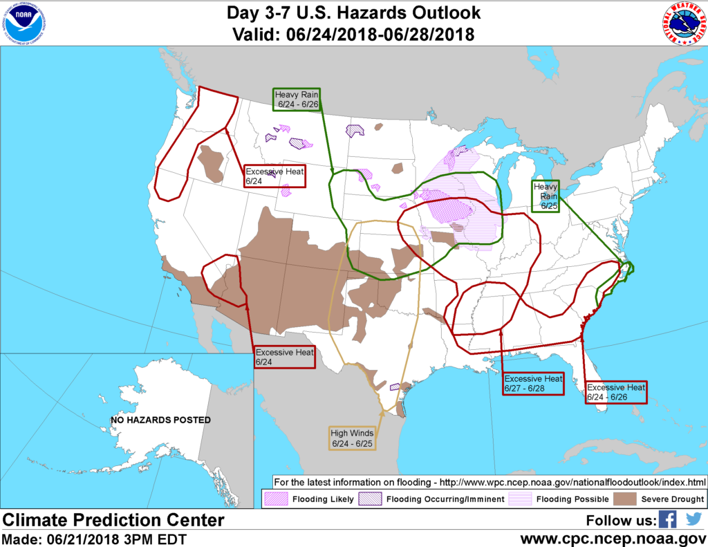 Looking ahead, the 6- to 10-day outlook depicts above-normal temperatures throughout the nation, the lone exception being Montana and environs. Above-normal rainfall is forecast from the northern Plains to the Ohio Valley and in parts of the Deep South and Florida. Drier-than-normal conditions are expected in New England, the southern Plains, and the Pacific Northwest.
Add Comment