Weather
Generally warm, but showery weather across the Heartland
 Across the Corn Belt, corn and soybean planting activities, as well as summer crop emergence and growth, continue in many areas under a warm, dry regime. However, locally heavy showers are spreading across the middle Mississippi Valley and developing in the western-most Corn Belt.
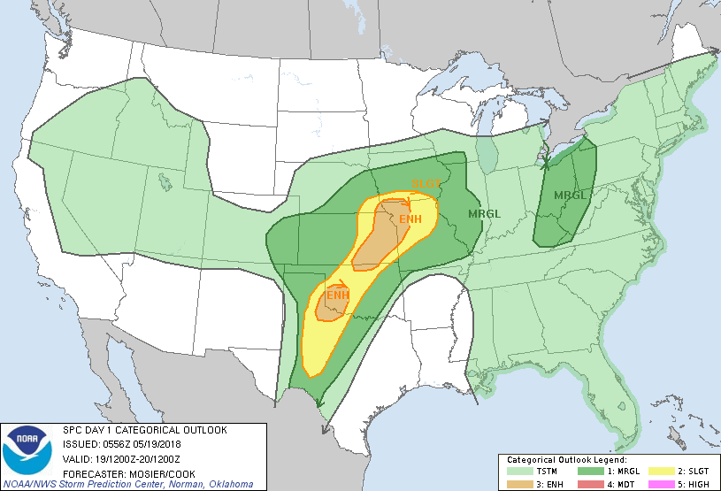 On the Plains, widespread showers and thunderstorms from Nebraska northward are slowing fieldwork but generally benefiting winter grains and summer crops. On May 13, prior to the recent and ongoing rainfall, North Dakota’s topsoil moisture was rated 47% very short to short. Meanwhile, widely scattered showers dot the southern Plains, where more sustained rainfall is needed to ease the effects of a punishing drought.
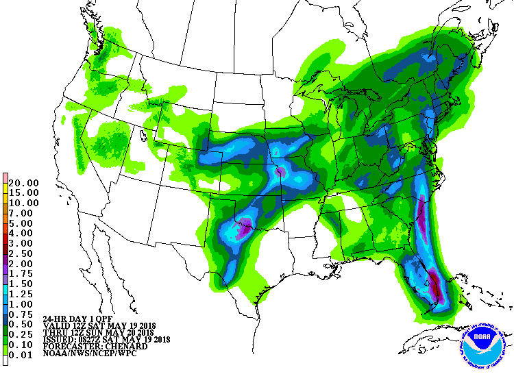
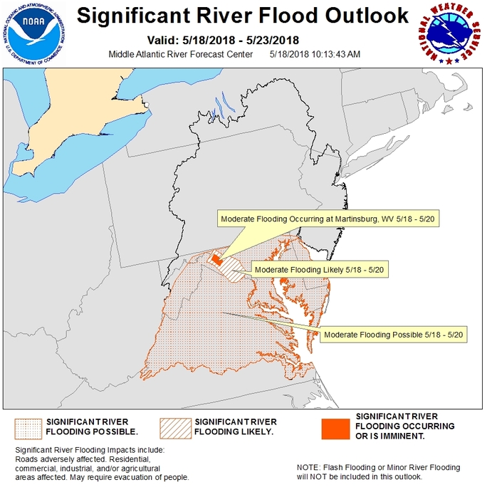 In the South, warm, humid weather persists. Southeastern showers have become less widespread, but remain locally heavy. Currently, some of the heaviest rain is falling in the southern Mid-Atlantic region, where pockets of flash flooding and river flooding are occurring.
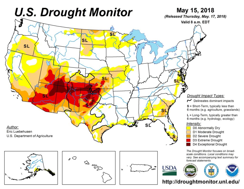 In the West, scattered showers linger across the northern half of the region, accompanied by cool conditions. In contrast, dry, breezy weather is leading to an elevated risk of wildfires in the Southwest, particularly across the drought-affected southern Rockies.
Add Comment