Weather
A welcome pattern shift for much of the Corn Belt
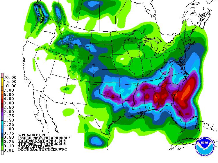 A storm system emerging from the Southwest will drift eastward, reaching the Southeast early next week. Highly beneficial rain developed later Friday across the drought-affected central and southern High Plains, with totals of 0.5 to 1.5 inches some areas; however, some locales may largely miss out on the rainfall, and a more widespread soaking is sorely needed. Showers will become heavier farther east, accompanied by locally severe thunderstorms. Storm-total rainfall could reach 2 to 4 inches or more in parts of the Southeast. In the West, mostly dry weather will accompany a warming trend, following the storm system’s departure. The Midwest will also experience several days of mostly dry weather, although spring fieldwork delays will persist in some areas until snow melts and soils warm up.
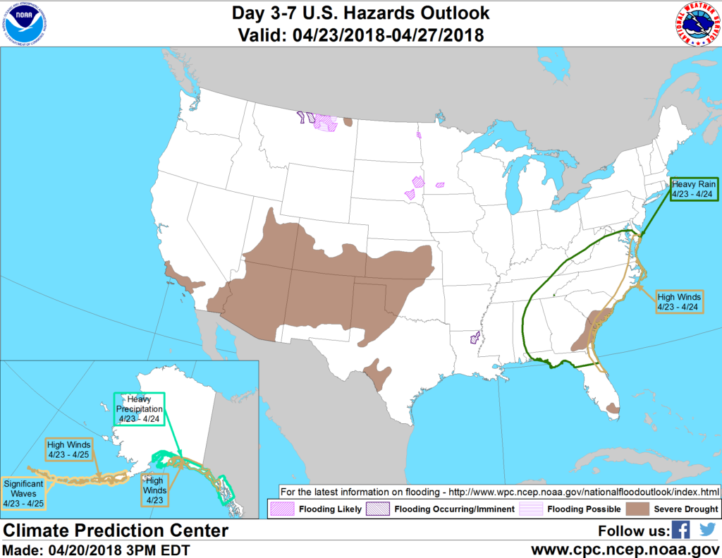 Looking ahead, the 6- to 10-day outlook calls for the likelihood of near- to below-normal temperatures across the eastern half of the U.S., except in New England, while warmer-than-normal weather will prevail in the West. Meanwhile, near- to above-normal precipitation across most of the country, including the southern High Plains, should contrast with drier-than-normal conditions in the lower Southeast and Pacific Northwest.
Add Comment