Weather
Massive Spring storm impacting the Heartland
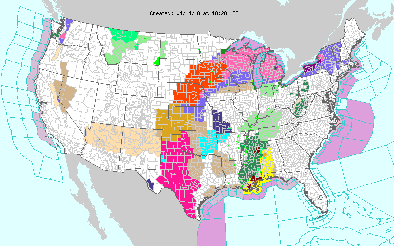 A massive spring storm crossing the central Plains will drift northeastward, reaching eastern Canada by the middle of next week. The storm’s far-reaching impacts may include wind-driven snow and blizzard conditions across portions of the northern Plains and upper Midwest; the potential for a historic wildfire outbreak across the southern High Plains; and heavy showers and locally severe thunderstorms in the nation’s southeastern quadrant. A sharp cold outbreak will trail the storm, with weekend freezes expected as far south as the southern Plains. Storm-total precipitation could reach 1 to 3 inches or more from the northern Plains into the Northeast, and in parts of the Southeast. Elsewhere, unsettled, showery weather will prevail in the Northwest, while dry conditions will persist in the Southwest.
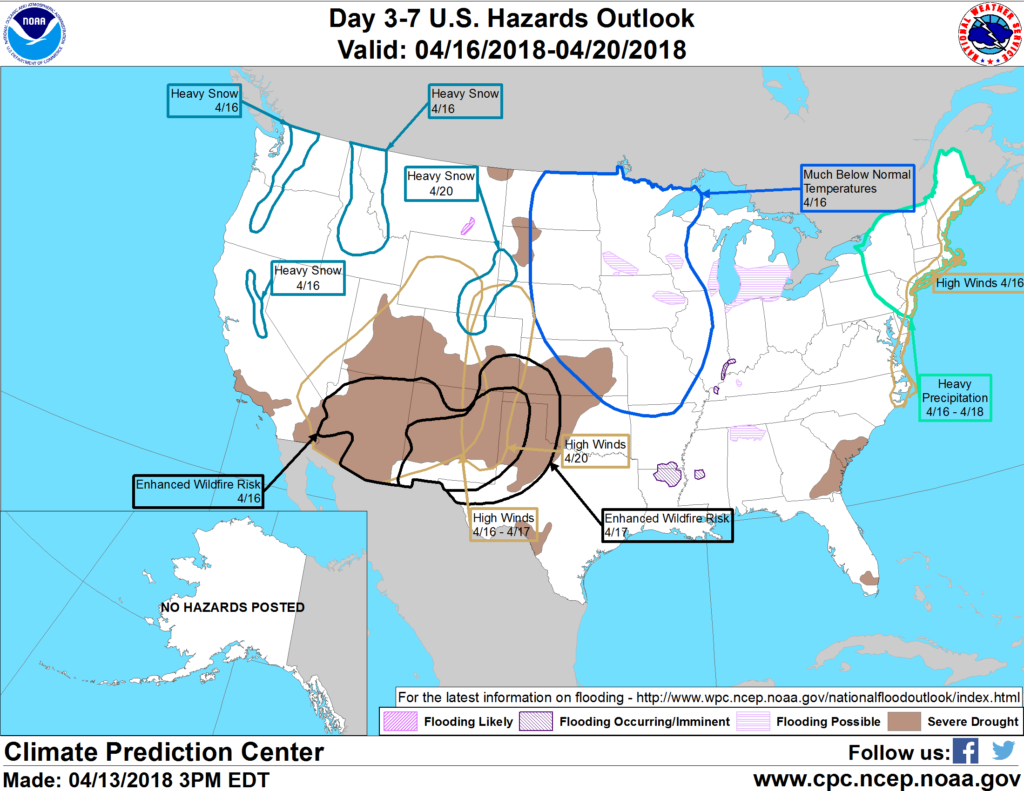 Looking ahead, the 6- to 10-day outlook calls for the likelihood of colder-than-normal conditions nationwide, except for near- to above-normal temperatures across the Deep South from Texas to the southern Atlantic Coast. Meanwhile, near- to above-normal precipitation across most of the country should contrast with drier-than-normal weather in a few areas, including the lower Rio Grande Valley and portions of the middle and southern Atlantic States.
Add Comment