Last week the weather was a sunny 68 degrees when I headed out of Monterey to Highway 101 for a trip to the Southland and a few days exploring Santa Monica and the Orange County Disney Resorts.
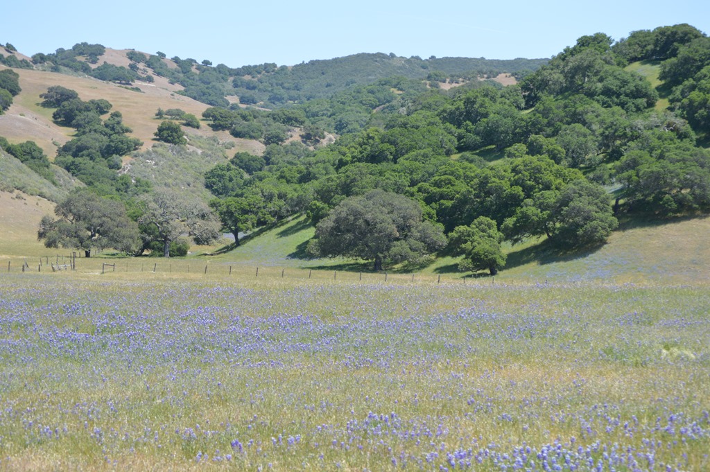
Spring flowers in the fields beside Highway 68, Monterey Peninsula access road.
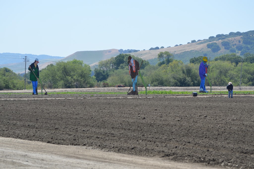
Big Farmers are artist John Cerney installations located in a variety of agricultural fields along dozens of miles of Salinas Valley visible from Highway 101 and Highway 68.
A detour along Highway 46 from Paso Robles to Cambria and Morro Bay offered some stunning ocean views.
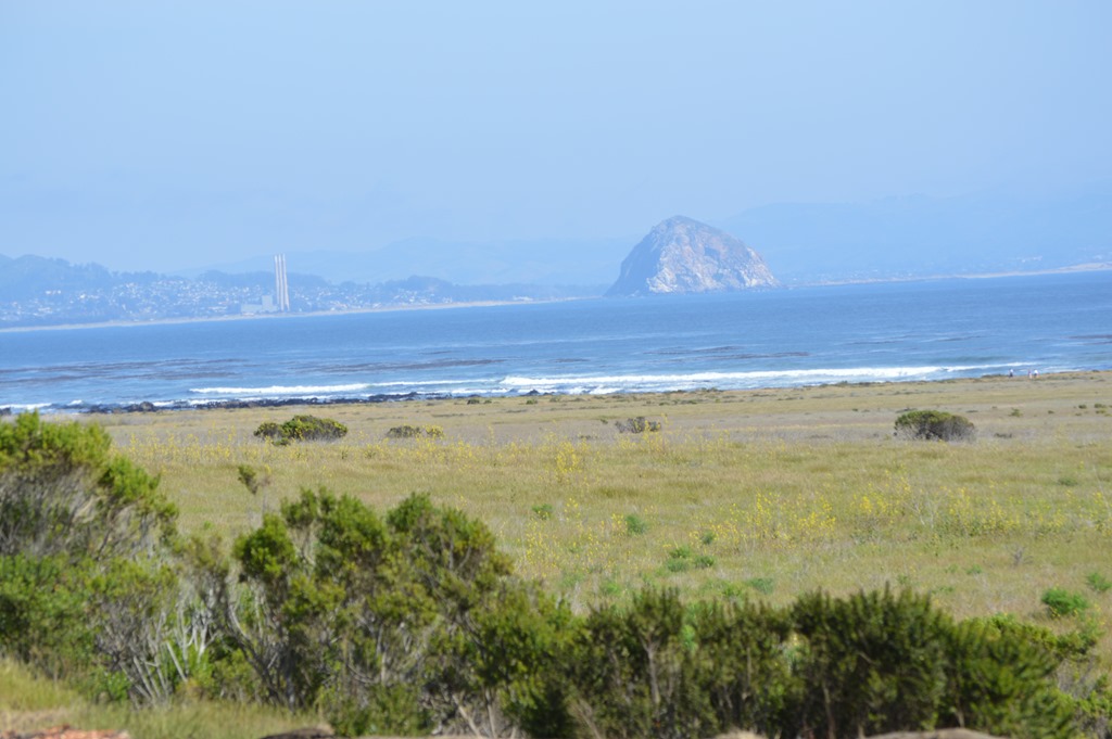
Morro Rock is a 581 ft volcanic plug rock at the entrance of Morro Bay. The rock is part of Morro Bay State Park. This location is a nesting area for rare peregrine falcons. Climbing Morro Rock is not allowed.
Morro Rock is one of the Nine Sisters; volcanic plugs stretching 12 miles from the sea to San Luis Obispo.
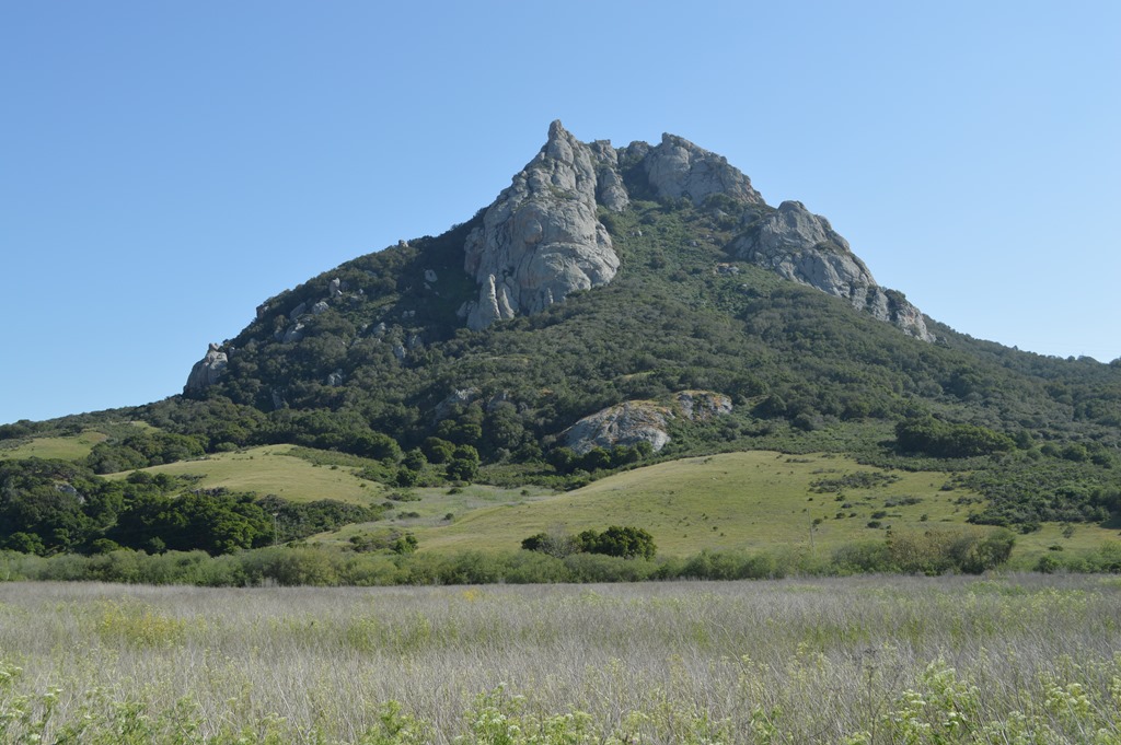
Hollister Peak (1,404 ft.) is one of the Nine Sisters.
Highway 101 goes inland after Pismo Beach in San Luis Obispo County from Santa Maria until the road reaches the coast again in Santa Barbara County.
The Santa Ynez Valley wine region is located on the northern side of the Santa Ynez Mountains rising above the city of Santa Barbara. The city of Santa Barbara is on the south side of the mountains.
There are wineries all along the valley lands of the Central Coast from Salinas Valley to Santa Ynez Valley 200 miles south along Highway 101.
From Santa Barbara the road travels more easterly than southerly. The direction trips me out to be driving Highway 101 South and traveling east.
I recall from the 1980s one of the Trivial Pursuit board game questions that tricked up many players is which city is more westerly – Reno, Nevada or Los Angeles, California?

One of the saddest sites to see off our beautiful California coast are all the oil platforms once you reach the coastline beside Highway 101 north of Santa Barbara.
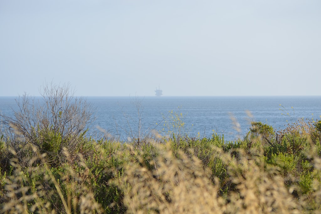
Offshore oil platform north of Santa Barbara.
After a night at the Residence Inn Oxnard, my route changed to Highway 1, Pacific Coast Highway for the 50 mile drive from Oxnard to Santa Monica.
The fog was so drippy that the morning was like a rain shower.
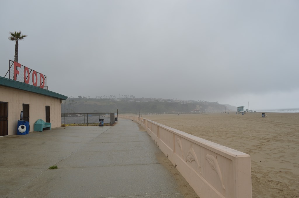
Malibu Beach on a foggy April morning.
Cold and wet after a few minutes outside on the beach had me heading back to the car to continue on to Santa Monica, California.
Driving PCH from Oxnard to Malibu and Santa Monica is my favorite way to reach Los Angeles. The shock of freeways and traffic jams is slightly delayed on a trip to the Southland by this route. This drive on a late April weekday when the weather was one of the 25 days in the year that are not sunny days in this place was not a good day for photography.

Surfers north of Santa Monica, California.
California is a big state with many popular locations. Santa Monica is famous for its beaches, art deco architecture, and the Santa Monica Pier which is the terminus of historic Route 66.

I spent a few hours checking out Santa Monica and some hotels in this city by the sea and sand.
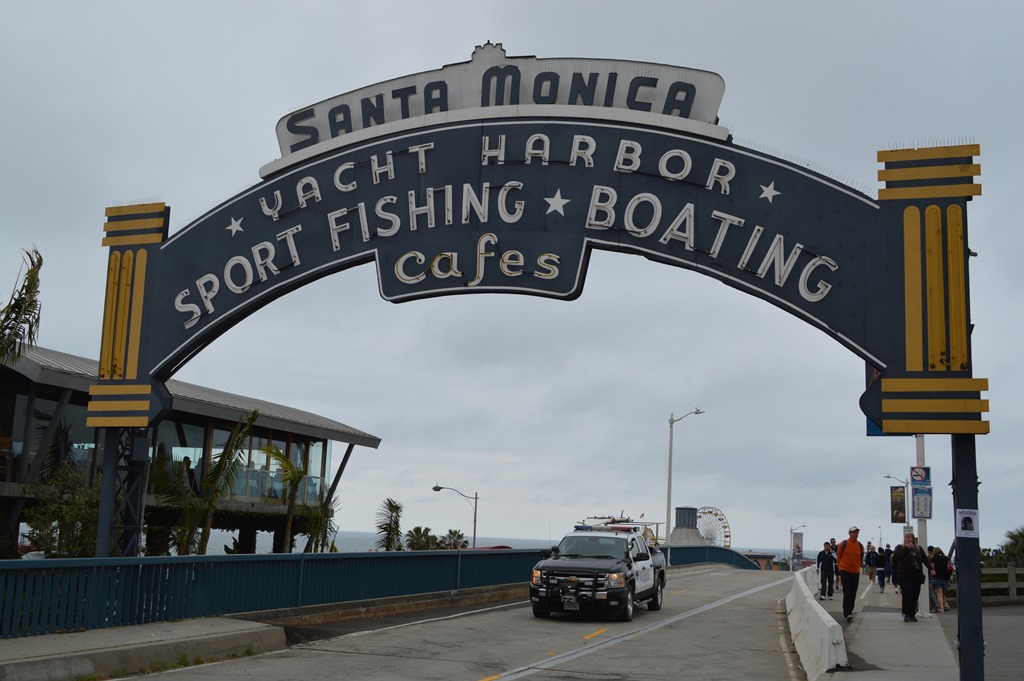
Santa Monica Pier.
Santa Monica is the closest beach city to glitzy Hollywood. There are several outstanding award winning hotels in this city. Prices reflect the proximity to Hollywood with many of the oceanfront hotels running in the $400 to $800 per night range. Hotels like Sheraton Delfina, DoubleTree Santa Monica and Holiday Inn are located off the beach, but within walking distance.
More about these hotels and the city of Santa Monica in the next post about my California Southland trip this past week.

1 Comment
Comments are closed.